Planning Commission endorses coordinated Bus Barn and Zipporah Road developments despite heavy neighborhood opposition
Get AI-powered insights, summaries, and transcripts
Subscribe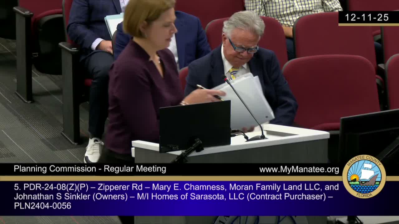
Summary
After lengthy testimony from dozens of residents, the commission recommended approval of two adjacent developments north of SR‑64 — 'Bus Barn' (122 units) and 'Zipporah Road' (up to 167 units) — that use a joint planning agreement to share utilities, access and stormwater solutions; approvals passed on narrow 3–2 margins.
The Planning Commission recommended approval of two adjacent rezonings and preliminary site plans known as Bus Barn (Ranchland Investors/Simply Dwell) and Zipporah Road (MI Homes), projects that together would deliver roughly 289 single‑family homes north of State Road 64 and east of Zipporah Road. Developers presented a joint planning agreement that commits both projects to shared utilities, a common amenity, cross‑access easements and coordinated stormwater systems aimed at meeting Mill Creek watershed requirements and NOAA Atlas 14 modeling.
Technical teams from both projects described integrated stormwater designs (cup‑for‑cup floodplain compensation, commitment to 50% peak discharge reduction and analysis under NOAA Atlas 14 and FDOT 72‑hour storms) and an arterial traffic analysis that counted peak flows and modeled future conditions; traffic engineers noted a multi‑lane roundabout at SR‑64 and Travelers Palm Drive under construction with completion projected and other SR‑64 corridor improvements under PD&E studies but with multi‑year timelines. Engineers concluded the projects would not create new adverse roadway impacts when considered together, in part because of planned interconnectivity and planned regional improvements.
Residents who live on Zipporah Road, Waterline Road and adjacent neighborhoods gave extended testimony opposing the rezonings. Common objections included: loss of a historic oak canopy and rural character on Zipporah Road, conversion of agricultural/large‑lot land to dense suburban lots, concerns about wetland impacts and wildlife (caracara, wood stork, gopher tortoise), flood risk and inadequate capacity on SR‑64 and local streets, and skepticism about whether mitigation and CIP projects would materialize in time to prevent congestion and safety hazards. Several speakers also raised procedural complaints about notification and private easement disputes.
Applicant teams and many professional witnesses said the joint design improves efficiency, allows better stormwater outcomes and will include mitigation bank purchases for unavoidable wetland impacts. Staff’s report found both applications consistent with the Comprehensive Plan and land‑development code subject to stipulations (e.g., interconnect cross‑access easement to be recorded; secondary access operational before occupancy beyond 100 units; NOAA Atlas 14 modeling; wetland mitigation bank credits; roadway improvements agreement for Zipporah Road from SR‑64 to the development entrance).
Following extended deliberation, the Planning Commission recommended approval on both items by narrow votes (recorded in the minutes as 3–2). Commissioners who voted for approval cited the projects’ planned infrastructure coordination, open space commitments and consistency with existing U F 3 land‑use designation; those opposed emphasized timing, compatibility and unresolved neighborhood concerns. The recommendations will move to the Board of County Commissioners for final action.