Council hears 25th‑year update on Edwards Aquifer protection program
Get AI-powered insights, summaries, and transcripts
Subscribe
Summary
City staff briefed council on the Edwards Aquifer Protection Program’s 25th year, reporting roughly 187,000 acres protected, a 10‑year $100 million funding plan through the San Antonio Municipal Facilities Corporation and continued use of conservation easements and partnerships to protect recharge and contributing zones.
City staff presented an annual update on the Edwards Aquifer Protection Program to the San Antonio City Council on Jan. 15, 2025, describing continued land protection work, partnerships and the current funding structure.
The briefing, led by Grant Ellis, natural resources manager for the Parks and Recreation Department, summarized the program’s history, acquisition process and geographic focus. "To date, the program has protected over a 187,000 acres of land, over the most sensitive parts of our Edwards Aquifer," Ellis said during his presentation.
The update explained why protections north and west of the city matter for San Antonio’s water supply. City Manager Eric (City Manager) and Ellis described the aquifer’s recharge, contributing and artesian zones and said the program prioritizes parcels in the recharge and contributing zones — including large ranches in Medina and Uvalde counties — because groundwater recharged there flows into the San Antonio pool.
The briefing reviewed how protected acreage is acquired and conserved. Staff said the program uses scientific ranking tools run by a Scientific Evaluation Team to prioritize properties based on water resources, biology, size and location. Acquisition tools include fee‑simple purchases and, more commonly, conservation easements that purchase future development rights while landowners retain ownership and many agricultural uses. Ellis said easements typically limit development substantially: "the restrictions for each property, basically, we have limited the amount of development, on each of the properties that we acquire to 1 half of 1 percent of the total square footage of the property." The city monitors all protected properties annually, with support from the Edwards Aquifer Authority under an interlocal agreement.
The presentation summarized funding history and leverage. Staff traced the program from a voter‑approved sales‑tax initiative (Proposition 3, later reauthorized) to the current financing through the San Antonio Municipal Facilities Corporation (MFC), which staff said provides $100 million over 10 years with roughly $10 million appropriated annually. Ellis said the program has used federal and state grants and partner programs to stretch local dollars, citing the USDA Natural Resources Conservation Service, the Department of Defense Readiness and Environmental Protection Integration (REPI) program and Texas Parks and Wildlife as partners.
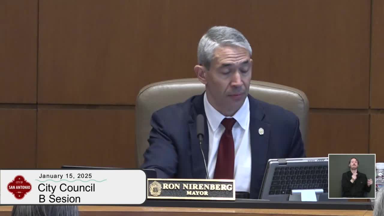
Mayor Nirenberg emphasized the stakes for the city: "there's not, perhaps a more important or existential issue that we will deal with in the future than the security and availability of our water," he said, calling the program critical for San Antonio’s future amid low aquifer levels and continued growth.
Council members asked about program scope, outreach and incentives. Council member Castillo asked whether staff are pursuing measures to create buffers or low‑impact development near protected lands; Ellis reiterated the program is voluntary and focuses on willing landowners whose parcels can demonstrably benefit drinking water quality or quantity for San Antonio. Council members asked for additional information on related policies such as impact fees (asked of SAWS and CPS Energy) and on the presence of a master plan; Ellis pointed to the Scientific Evaluation Team’s GIS model as the program’s targeting tool and said the ranking is updated roughly every five years.
Staff highlighted recent acquisitions and field findings, including the Saco Valley Ranch purchase in Medina County and discovery of a cavern system called the Woot Cavern during due diligence. Ellis showed photos from that site to illustrate subsurface karst features that affect recharge.
Council members and presenters repeatedly emphasized partnerships and long‑term monitoring. Ellis described a very small dedicated staff that coordinates landowner negotiations, monitors easement compliance and works with nonprofit partners such as The Nature Conservancy and Green Spaces Alliance to identify and steward properties. The mayor and others noted the city will continue to return periodic updates under the current MFC financing plan and urged continued prioritization of aquifer protection as a civic and budgetary priority.
Looking ahead, staff said FY25 appropriations include the annual ~$10 million allocation from the MFC funding source and that they will continue to target properties over the recharge and contributing zones, emphasize important watersheds and pursue external leverage where possible. No formal council ordinance or vote was taken at the briefing; staff framed the presentation as a program update and committed to continuing semiannual reports as part of the MFC funding oversight.
Ending: The council did not take action at the briefing; staff will continue acquisitions and monitoring under the current funding strategy and return with updates and any future specific acquisition requests to council for authorization.
