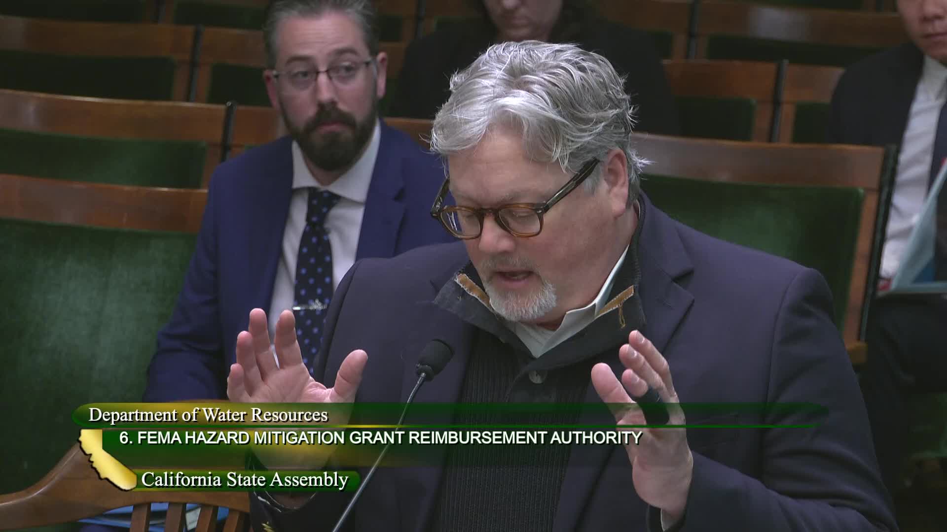
DWR pilots post-fire alluvial-fan flood forecasting with FEMA funds to guide emergency response
Get AI-powered insights, summaries, and transcripts
Subscribe
Summary
DWR described pilots that combine lidar, soil testing and NOAA radar to forecast post-fire alluvial-fan flooding in three basins, aiming to give emergency responders site-specific rainfall thresholds that indicate imminent fan flooding risk.
The Department of Water Resources presented a small budget request tied to FEMA hazard-mitigation funding to pilot post-fire alluvial-fan flood forecasting in three basins: a Mono County basin, a basin in Monterey County and an alluvial-fan area in northern Los Angeles County (Angeles National Forest).
DWR described technical work completed to date: LIDAR mapping, soil characterization by the California Geological Survey and development of hydrologic models to translate storm intensities into likely alluvial-fan responses. The near-term objective is to pair these models with focused NOAA radar observations during storms so agencies can issue targeted emergency messaging and direct response resources when short-duration heavy precipitation is likely to trigger debris flows or fan flooding.
DWR said the pilots aim to "truth" the models during actual storm events and evaluate whether the approach can be scaled. Staff noted potential dependency on federal radar and monitoring capacity and acknowledged that federal staffing disruptions could complicate data streams. The pilot is structured as research-and-development to support operational forecasting tools for emergency managers.
Why it matters: post-wildfire landscapes are more prone to rapid debris-flow and alluvial-fan flooding. Site-specific, near-real-time forecasts could meaningfully improve evacuation and emergency-response timing after fire events.
Next steps: DWR will continue the pilots, coordinate with NOAA to test radar-based triggers, and seek additional FEMA hazard-mitigation funds for broader mapping if pilots validate the approach.
