Draft St. Lucie regional vulnerability assessment maps coastal, tidal and rainfall flood risks; grants follow
Get AI-powered insights, summaries, and transcripts
Subscribe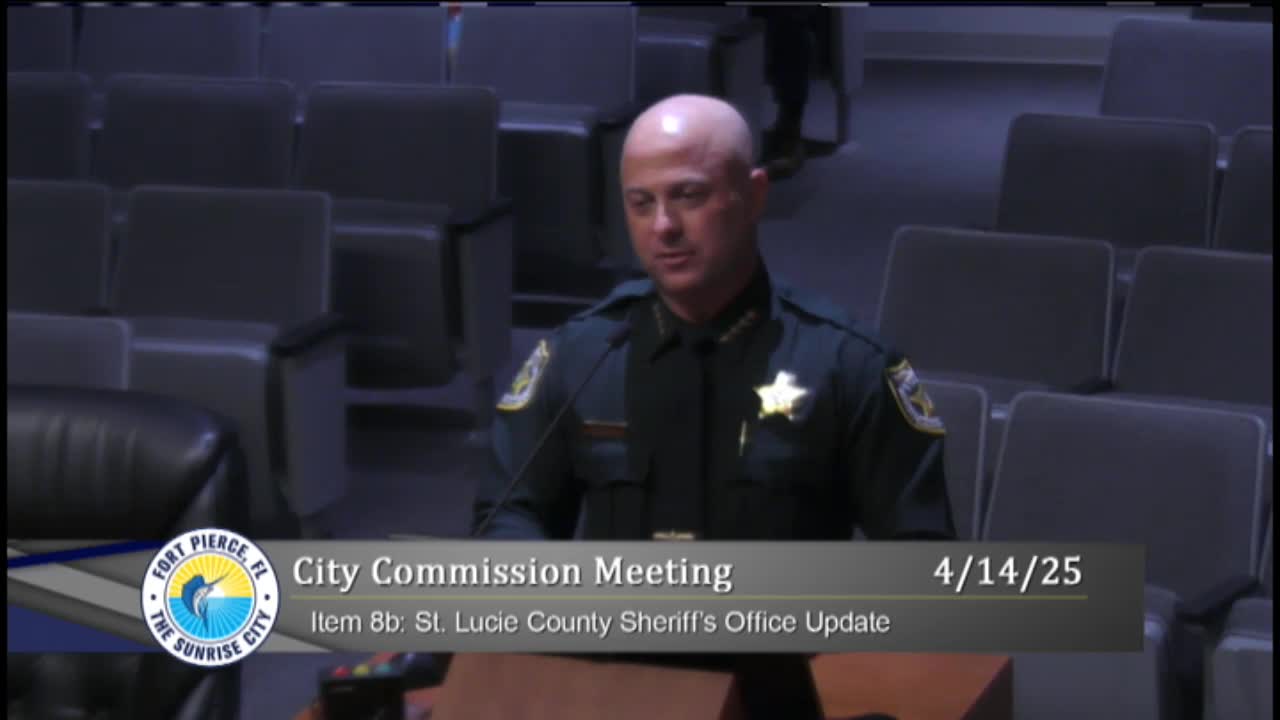
Summary
Consultants presented a draft regional vulnerability assessment covering Fort Pierce, Port St. Lucie and St. Lucie Village, mapping coastal sea‑level, storm surge and rainfall flood scenarios and outlining grant opportunities through Resilient Florida.
Consultants from Tetra Tech presented a draft St. Lucie County Regional Resilience Vulnerability Assessment to the Fort Pierce City Commission on April 14, showing present‑day and future flood exposures from sea‑level rise, high‑tide flooding, storm surge and extreme rainfall, and identifying critical infrastructure at risk.
Georgia Vince of Tetra Tech (presenting in Sandra Brogan’s stead) described a year‑long, countywide planning effort funded by a Florida Department of Environmental Protection planning grant under the Resilient Florida program. The assessment combines LIDAR elevation data, NOAA sea‑level rise projections (2017 intermediate low and intermediate high), high‑tide frequency, storm‑surge scenarios and rainfall‑induced flooding to create compound flooding maps for present day, 2040 and 2070 planning horizons.
The consultants said they built an asset inventory—including transportation, stormwater, water and wastewater facilities, shelters and natural resources—and scored assets with a composite vulnerability metric combining exposure, flood depth, timing and a steering‑committee defined criticality index (tier 1–3). Maps presented for Fort Pierce and White City highlighted high‑priority nodes such as bridges, substations and emergency facilities.
Tetra Tech described the assessment as a required foundational document for pursuing Resilient Florida infrastructure grants that typically require a planning vulnerability assessment as a prerequisite. The planning grant is 100% state funded; certain infrastructure grants later require a 50% local match.
Commissioners asked how the public will be engaged and how results affect homeowners not in high‑flood zones. Vince and Paul Thomas said public outreach will include meetings in Fort Pierce and Port St. Lucie plus a webinar and interactive tools (Mentimeter) to collect neighborhood‑level input. They emphasized the maps are desktop analyses that benefit from local reporting and that residents far from immediate inundation may still face future impacts via road access, critical facilities or evolving flood patterns.
The draft will be revised with stakeholder input and returned in early June for final adoption; the consultants listed May public meetings and a June public hearing for final approval.
Ending: The commission received the draft and staff and the steering committee will collect public feedback ahead of the early‑June adoption hearing and subsequent grant opportunities.
(Technical excerpts summarize the consultants’ slides and presentation.)