Planning board seeks zoning changes to align Millis with revised FEMA flood maps
Get AI-powered insights, summaries, and transcripts
Subscribe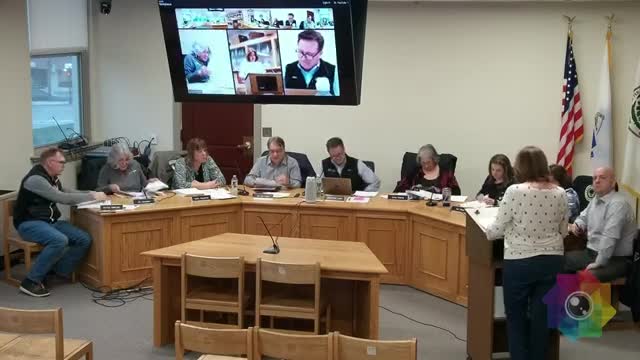
Summary
The Planning Board proposed a Special Flood Hazard District bylaw and updated zoning map to incorporate FEMA's revised flood insurance rate maps; the Finance Committee recommended the article to Town Meeting.
The Planning Board told the Millis Finance Committee on April 16 that the town must update its zoning bylaws and map to reflect FEMA's 2023 revisions to the flood insurance rate maps and to remain a participant in the National Flood Insurance Program (NFIP).
Nicole Riley of the Planning Board said the town worked with the Metropolitan Area Planning Council (MAPC) and engineering consultant GCG Associates to adapt the Massachusetts model bylaw and to revise local flood-zone delineations. The proposed Article 16 would create a Special Flood Hazard District, update construction and substantial-improvement standards, and adopt revised flood-plain development criteria specified to maintain NFIP compliance.
Riley told the committee that changes in the delineation of flood zones are driven by FEMA's map revisions and are not a planning-board determination; the town relied on consultants and state guidance. She also said bylaw changes and the mapped overlay will be submitted to the Attorney General for approval as part of the town warrant process. The Planning Board indicated no contested issues remained when it voted the article forward and the Finance Committee recommended approval for Town Meeting.
The Finance Committee recorded a recommendation to approve Article 16; the committee noted the change is required for residents to remain eligible for flood insurance in parts of town where National Flood Insurance Program maps have been revised.