Austin staff brief council on North Lamar, South Congress station-area vision plans ahead of May 22 public hearings
Get AI-powered insights, summaries, and transcripts
Subscribe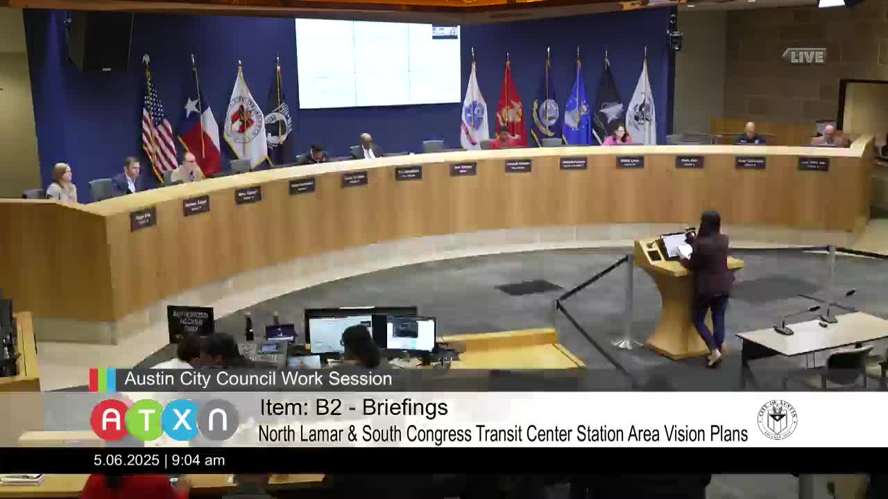
Summary
City planning staff on May 6 briefed the Austin City Council on two station-area vision plans aimed at shaping future development around the North Lamar and South Congress transit centers, a staff presentation that set the items for public hearings on the council agenda May 22.
City planning staff on May 6 briefed the Austin City Council on two station-area vision plans aimed at shaping future development around the North Lamar and South Congress transit centers, a staff presentation that set the items for public hearings on the council agenda May 22.
The plans are part of the city’s Equitable Transit-Oriented Development (ETOD) work program, developed with CapMetro and community stakeholders after voter approval of Project Connect in 2020. Anna Villareal, principal planner in the Planning Department, told the council the plans are “vision plans” that will guide future decisions but, she said, “do not on their own change zoning.”
Why it matters: the plans map how the half-mile areas around each transit center might evolve — identifying where growth is encouraged and where preservation is a priority — and they would be added to Imagine Austin as guidance for rezoning, investment and future regulatory tools such as a potential ETOD overlay. That makes the May 22 council hearings consequential for later land-use requests and potential city-initiated rezonings.
What staff presented
Villareal said the North Lamar and South Congress Station Area Vision Plans grew from a 2022 council directive and follow the ETOD policy plan the council approved in spring 2023. The two plans reflect more than two years of public engagement and contain an existing-conditions analysis, character maps, recommendations and an implementation program. The Planning Commission voted April 22 to approve its recommendations for the items that will be brought to council on May 22, staff said.
For North Lamar, staff said the plan emphasizes improved pedestrian and bicycle connections between existing affordable housing and the transit center, safer crossings, and local employment opportunities. The North Lamar future land-use map divides the half-mile station area into three broad character districts: TOD mixed-use (highest-intensity), mixed-use industrial, and neighborhood transition. The map is parcel-level guidance, staff emphasized, not zoning.
For South Congress, staff said the plan responds to rapid redevelopment pressure and infrastructure barriers (including U.S. 290) by encouraging high-density mixed-use TOD along South Congress and Bridal Lane, connecting to the planned Bergstrom Spur trail, and supporting small businesses, workforce training spaces and first/last-mile micromobility.
Companion actions
Staff told council the package to be considered May 22 will include 12 related items: the two station-area vision plans, nine neighborhood-plan future-land-use amendments and a code amendment that would establish an amendment process and public-notice rules for the new plan type should council adopt the visions. Villareal said the code amendment is intended to make future changes to the new future-land-use maps consistent with the current neighborhood-plan amendment process.
Questions from council and staff responses
Council members pressed staff on access and safety. Councilmember Segal asked specifically how planners were coordinating with Transportation & Public Works and CapMetro to improve access under the U.S. 183/183 crossings and whether street lighting would be addressed; Villareal and Planning Division staff said the plans recommend connectivity and safety measures and that many on-site amenities will be negotiated by CapMetro on its property, while improvements outside the transit center will be a partnership among city investments, property owners and guidance from mobility planning documents such as the Austin Strategic Mobility Plan (ASMP).
On limits of plan authority, Division Manager Stevie Greathouse clarified that the station-area plans are land-use guides, not regulatory documents, and that prohibitions on “auto-oriented uses” would be implemented via zoning tools and notes on the future land-use maps rather than by the vision plans themselves. Greathouse said planning staff expects any prohibition to be considered through the rezoning process if property owners seek consistency with the new future land-use designations.
Displacement concerns and next steps
Staff said displacement risk informed the maps: proposed changes focus primarily on commercial and industrial parcels directly adjacent to stations rather than on the smallest residential lots farther away. Villareal highlighted that the future land-use maps are intended to guide where growth is encouraged and where preservation is prioritized, and that adoption would enable property owners to pursue rezonings consistent with the new maps. She also noted that CapMetro will continue separate community engagement and design work for redevelopment of its sites.
The plans do not change zoning at adoption; staff recommended the plans be added to Imagine Austin and that the council consider the nine neighborhood-plan amendments and the ordinance to create the plan amendment process on May 22. Council members asked staff to coordinate next steps with the mobility committee and to provide more detail on suggested regulatory tools (including an ETOD phase 2 overlay) and a schedule for potential city-initiated rezonings.
Public comment
One speaker registered for the item during the work session and asked staff for clearer public materials to help neighbors understand what the plans do and do not do.
What’s next
The Planning Commission recommendations and the full packet of engagement summaries and draft maps are in backup for the May 22 council meeting. If council adopts the vision plans, staff said the next steps include code amendments, possible city-initiated rezonings once new zoning tools are ready, ASMP amendments to incorporate connectivity recommendations and continued CapMetro-led design for transit center redevelopment.