Union County board cuts taxable acreage for two BD Realty parcels after access, floodplain concerns
Get AI-powered insights, summaries, and transcripts
Subscribe
Summary
Union County—oard of Equalization and Review applied partial reductions to acreage on two BD Realty parcels, citing limited practical access and floodplain impacts after hearing from the property owner's attorney and county appraisal staff.
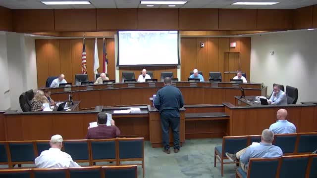
The Union County Board of Equalization and Review voted to apply partial adjustments for limited access and floodplain impairment to two parcels owned by BD Realty LLC after a hearing in which the property's attorney and county appraisal staff presented competing calculations.
Attorney Larry Shaheen, representing BD Realty, pointed the board to large areas of floodplain on both parcels and argued those areas are effectively non-developable. Shaheen said the county ssessor nd his team had applied a 45 percent flood adjustment but that, in his view, the usable portion of the land was far smaller: "the only developable parcel here ... is significantly less than 45% of the property," he told the board.
County appraisal staff explained their flood adjustments are based on FEMA mapping and the department—ould not cite other materials submitted by the appellant that would change their calculations. The county nalyst told the board the top parcel includes 18.45 acres at a 45 percent flood discount and the lower parcel includes 28.17 acres at a 45 percent flood discount.
After discussion, the board agreed to limit changes to discrete, accessible portions of the parcels rather than reworking the countywide flood adjustment. For parcel 05039009B the board instructed staff to apply a 25 percent impairment to approximately 9.5 acres in the parcel rea identified by the board as having limited practical access. For the adjoining parcel, 05042017, the board ordered a 25 percent impairment applied to roughly 5 acres that board members identified as similarly constrained by access and floodplain.
Board members said the top portions of the site appeared reasonably accessible and developable under county maps and FEMA data, but the bottom-right portions of the property are effectively isolated without expensive infrastructure work. One board member summarized the conclusion: the board had "sympathy on the bottom right part" of the parcel and sought a measured adjustment rather than overturning the county's entire flood calculation.
The board's motions were made in open session and carried; the clerk recorded the motions and second(s). The board did not record individual yea/nay tallies in the public minutes for these motions.
The county will notify BD Realty in writing of the board ecision within the normal post-hearing timeframe.
