Lake Area Planning Council presents countywide wildfire preparedness and evacuation plan
Get AI-powered insights, summaries, and transcripts
Subscribe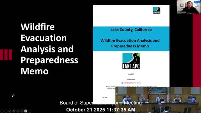
Summary
Consultants and county staff presented a draft wildfire preparedness and evacuation plan with preparedness checklists, maps, temporary evacuation points and guidance for evacuating schools, people with access needs and animals.
Lake Area Planning Council consultants presented a draft Lake County Wildfire Preparedness and Evacuation Plan to the Board of Supervisors on Oct. 21, including new maps, temporary evacuation protocols and a set of recommendations for communications, exercises and network improvements.
Faith Newton of the Resiliency Initiative said the plan was developed with input from a technical advisory group and 243 community survey responses. The draft outlines three preparedness pillars — know your zone, make a plan and be informed — and provides operational definitions that local agencies can use during incidents: warnings, evacuation orders, hard and soft closures, and resident‑only returns.
The plan identifies primary and secondary evacuation routes for communities across the county and recommends temporary evacuation points (TEPs) to move people out of immediate danger before they are taken to shelters or resource centers. It includes guidance for school evacuations, people with access and functional needs, and livestock evacuation. Consultants also recommended integration with existing systems such as Genesis Protect for zone alerts, IPAWS for emergency messaging, and coordination with Caltrans message signage.
Supervisors asked for several practical edits during the presentation: ensure every known road out of the county is on the community maps; add specific secondary routes such as Butts Canyon Road and Western Mine Road where applicable; and include population figures for schools so responders can size resources. Staff said they would incorporate the feedback and finalize maps and checklists.
Ending: The plan is intended as a living document and will be attached as an annex to the county emergency operations plan. Staff said updates could be made after major incidents or when new information becomes available.