Westerville presentation traces century of boundary changes, explains why most students live outside city limits
Get AI-powered insights, summaries, and transcripts
Subscribe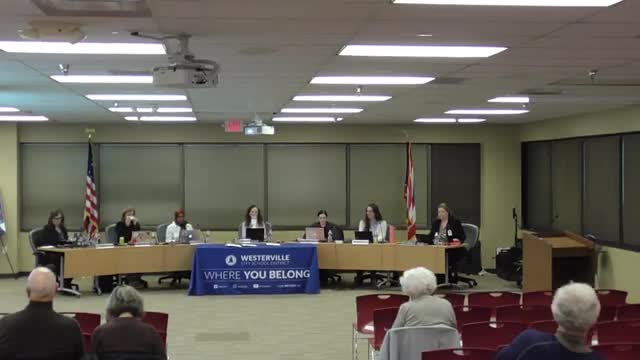
Summary
At the Feb. 10 Westerville City Schools board meeting, district staffer Scott Reeves gave a detailed historical presentation explaining how 19th- and 20th-century annexations, state decisions and court-ordered busing shaped current district boundaries and why most Westerville students live outside the municipal city limits.
At the Westerville City Schools Board of Education meeting on Feb. 10, Scott Reeves gave a detailed historical presentation explaining why the majority of students the district educates live outside the municipal boundaries of the city of Westerville.
Reeves told the board the district’s footprint spans about 52 square miles and serves roughly 14,700 students; he said only about 4,700 live inside the city of Westerville (about 32 percent), while about 5,800 come from the city of Columbus (about 40 percent). He traced that situation to 19th- and 20th-century patterns of township-based school districts, later consolidations, and state boundary decisions that allowed Columbus to annex territory while district boundaries did not automatically follow municipal annexations.
Why it matters: Reeves tied the history to modern budgeting, levy strategies and community perceptions about who the district educates. He said the pattern explains why building and transportation choices made decades ago still affect where students attend high school today.
Reeves said the district began educating students from surrounding townships in the 1800s and expanded through consolidation in the mid-20th century. He described three episodes with major effects on district size: (1) consolidation with Blendon Township and other nearby areas in the 1950s, (2) the transfer of Mifflin Township territory to Columbus Public Schools around 1970–1971 and the subsequent loss of roughly 2,500 Westerville students, and (3) the 1986 “win-win” agreement that froze suburban district boundaries and ended regular transfers tied to city annexation.
Those events, Reeves said, forced the district into a burst of school construction in the 1960s and 1970s and then a long pause after the 1970s population and boundary changes. He summarized the 1970s outcome this way: "We lost 2,500 students — 25 percent of our student population — to Columbus Public Schools, and it utterly devastated our community." He also described the federal litigation and desegregation orders affecting Columbus Public Schools in the 1970s that led to court-ordered busing and additional neighborhood shifts.
Reeves used maps and student-address scatterplots to show that many Westerville high-school students live much closer to one high school but still attend another because of historical boundary lines and past school placements. He said, "I will tell everyone listening to challenge their beliefs, because people think that they know who we educate and why we educate them and have their misconceptions…" and urged the board and community to use the history to inform public communications.
Board members asked clarifying questions about specific jurisdictions and the district’s obligation to educate students placed at outside facilities (foster care, special-education placements). Reeves answered that the district remains responsible for some students who live outside the geographic footprint because of placement, foster care or homelessness.
Ending: Trustees thanked Reeves for the historical context and asked the administration to make presentation materials available to the public. The board said it plans to excerpt and distribute portions of the presentation to help community members who raise questions about boundaries, levies and student populations.