Board approves boundary line adjustment after well found on neighbor’s property
Get AI-powered insights, summaries, and transcripts
Subscribe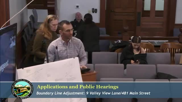
Summary
The board approved a boundary line adjustment at 9 Valley View Lane and 481 Main Street to place a well back on the intended parcel after a survey discovered it sat on the abutter’s land; the adjustment does not create nonconforming lots and must be recorded.
The Planning Board approved a boundary line adjustment between parcels 209‑060 and 209‑056 after a survey revealed a well sat on the neighboring property. Mario Folcaretto of Brown Engineering said the parties reached agreement to shift the boundary so the well remains on the intended parcel.
Trish Temperino, an owner involved in the exchange, told the board she and her family were surprised to learn the well was not on the recorded property and thanked staff for help resolving the issue. "It was a bit of a shock to us to find out that our well wasn't on our property," Temperino said during the meeting.
The board found that both lots will remain conforming under the Highway Commercial zoning district, that road frontage will not be affected, and that the adjustment remedies the survey error without creating encroachments. The board approved the adjustment and directed the applicant to record a mylar and pay recording fees before finalization.
Brown Engineering and the applicants were instructed to provide the recorded documents to planning staff once completed.