Moore County planners recommend conditional rezoning for NC 211 mining operation
Get AI-powered insights, summaries, and transcripts
Subscribe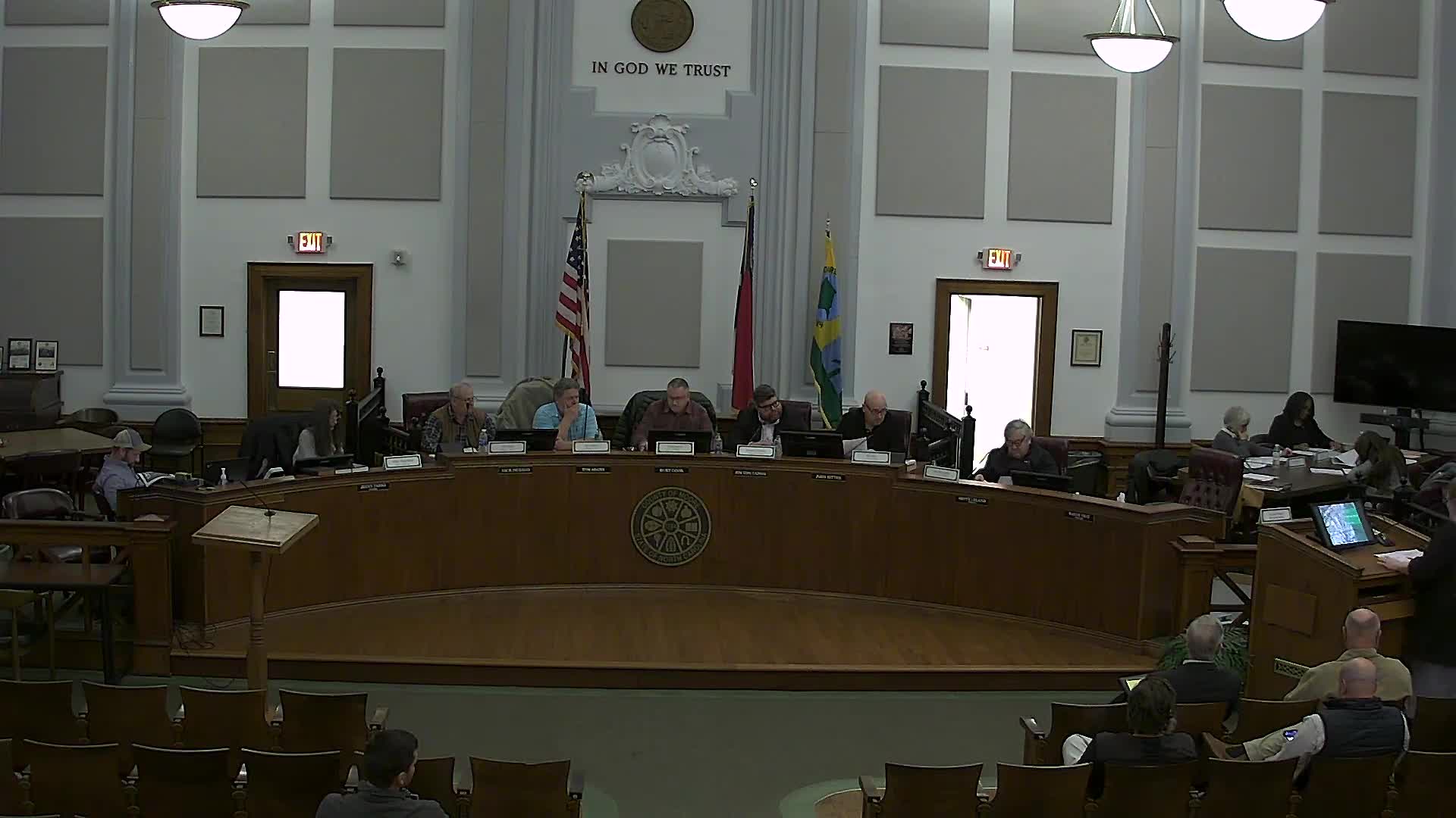
Summary
The Moore County Planning Board voted to recommend that the Moore County Board of Commissioners approve a conditional rezoning to allow expanded mining and quarry operations at 985 N.C. 211.
The Moore County Planning Board voted to recommend that the Moore County Board of Commissioners approve a conditional rezoning to allow expanded mining and quarry operations at 985 N.C. 211.
Danielle, a Moore County planning staff member, told the board that the request would rezone three parcels totaling roughly 618 acres from Rural Agricultural (RA) to Rural Agricultural–Conditional Zoning (RA CZ) and that the applicant proposes to mine about 341.96 acres of that area in phased operations over roughly 10 to 30 years. The planning board adopted a land-use consistency statement before recommending approval of the rezoning.
The rezoning matter matters because it would formalize the land uses for an existing sand and clay operation by adding site-specific conditions and a development plan while leaving final approval to the Moore County Board of Commissioners. The application and staff presentation described required setbacks and screening, truck routes, restoration commitments and state permitting milestones that affect neighbors and long-term land use in the corridor.
Danielle said the property currently is zoned RA and is surrounded mainly by single-family and agricultural uses. The applicant holds a state mining permit (No. 6343) and has previously modified that permit; staff said additional modifications will be submitted by the applicant about six months before each new phase begins. Staff identified the proposed mine footprint on maps and said the UDO requires a vegetative buffer of not less than 50 feet along affected boundaries, a Type 3 landscape buffer where appropriate, truck-route plans and limits on excavation within 50 feet of property lines. Staff also noted county standards for restoration under the mining permit: final slopes no steeper than 3:1 and return to agricultural uses with pond buffering by native vegetation.
Ben Williams, identified in the meeting as one of the owners and supervisors for the operation, told the board, “we have been in operation for over 8 years with no complaints so far,” and that “all we want to do is increase the minable ground.” He and other representatives — including attorney Tom Terrell and technical consultant Michael Blakely — were present to answer questions.
Nearby resident Orlando Comer raised concerns during the public hearing about the depth of digging and whether blasting or bedrock removal would be required. Comer said he believed sand digging could be 50 feet deep and asked how that might affect adjacent property and gravesites he said are nearby. Williams responded that operations have so far encountered topsoil and a clay layer before reaching sand, that crews have reached about 50 feet in some places without hitting bedrock, and that there are no plans to blast. Williams said mined areas are being left as ponds or immediately reforested and that the operation follows state mine safety and DEQ requirements.
Staff noted additional site controls shown on the submitted materials: color-coded phasing plans; the truck-route figure submitted as part of the application; separate delineation of streams and buffers; and a landscape/berm screening plan meeting the UDO’s Type 3 nonresidential screening standard. The UDO language staff cited also permits the board of commissioners to approve an earthen berm at least 6 feet tall within the 50-foot buffer under certain conditions; the applicant said it was not specifically requesting that allowance but has shown berms and vegetation on its plan to increase screening.
At the end of the hearing Board member Garrison moved to adopt the planning-board land-use consistency statement (referencing North Carolina General Statute 160D-604); Board member McLaughlin seconded the motion and it carried. Garrison then moved to recommend approval of the conditional rezoning of the three parcels (identified in the record by parcel IDs and deed-book references) from RA to RA CZ for a mining/quarry operation; a second was stated on the record, the board voted in favor and the motion passed. The planning board’s recommendation is advisory; the Board of Commissioners has final decision-making authority.
Next steps noted in the meeting: the applicant will continue to apply for state mining-permit modifications as phases progress; the county will forward the planning-board recommendation and the consistency statement to the Moore County Board of Commissioners for final action. No BOCC hearing date was specified during the meeting.
Votes at a glance: the planning board unanimously adopted the land-use consistency statement and unanimously recommended approval of the conditional rezoning to the Board of Commissioners. Specific vote tallies or named individual votes were not recorded in the transcript.