Hubbardston open-space committee raises aquifer and habitat concerns over sandpit development proposal
Get AI-powered insights, summaries, and transcripts
Subscribe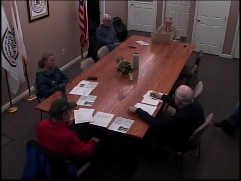
Summary
Members and guests discussed a developer proposal for roughly 10 acres in the gravel-pit area, highlighting groundwater, vernal-pool, and rare-habitat risks and asking for stronger community and agency involvement in review and follow-up.
The Town of Hubbardston Open Space Committee on a recent meeting reviewed the status of a development proposal for land in the town’s gravel-pit area and urged careful review of groundwater and habitat risks before any plan advances.
Committee members and guests said the request-for-proposals covered roughly 10 acres in the sand/gravel-pit complex north of Pitcherville Road and that only a single bid had been received by the deadline. Committee members said the request itself did not include detailed environmental analysis or a clear map showing the exact footprint of the proposed work; committee staff said the selected contractor would present a development plan and that the town expects at least one public meeting and interface with the planning board during plan development.
Why it matters: speakers warned that the northwestern quadrant of town contains conservation values — an important aquifer, vernal pools, cold-water stream segments, and a parcel of state forest — that could be affected by intensive development. Several participants said earlier proposals for the pits had included industrial uses such as asphalt plants and disposal of construction material.
Committee discussion and concerns The committee heard a detailed statement from guest Jesse Bridal, who said the pits have historically been worked for gravel and now face ownership change and potential development. Bridal said the area "is ripe for development" and urged early coordination among town officials, developers and conservation groups to protect key natural resources.
Bridal and other members noted several specific conservation features in or near the gravel pits: a parcel of state forest in the northwest corner, an identified priority-habitat polygon noted in state mapping tools, numerous vernal pools, headwaters that feed the Otter River, and a significant local aquifer supplying drinking water to parts of town. Committee members emphasized that some habitat records are restricted (not publicly mapped) to avoid exposing rare species locations to threat.
Committee members asked planning staff (referred to in the meeting as Nate) whether a standing advisory or working group would be formed after contract award; staff responded that the selected contractor would meet publicly and that formation of an advisory team or working group would be discussed once selection is finalized.
Implementation and next steps Committee members agreed to monitor the proposal-review schedule and to request clearer mapping of the proposed footprint and a plan for ongoing conservation review. The committee recommended inviting state resource agencies (for example, the Department of Conservation and Recreation and fisheries or wildlife staff) into early project discussions where relevant.
Speakers Jesse Bridal, Open Space Committee mentor and guest (spoke as a local conservation advocate) Tim Tarrant, forester and committee member (identified in the meeting as a local forestry resource) Rick (committee member) Steph Friend (committee member) Nate (staff member, planning-related) Mark Dimock (landowner referenced; has a conservation restriction on a nearby parcel) Mike Downey (external contact referenced on seedlings/planting; affiliation not specified)
Clarifying details - Proposal scope: the solicitation covered a 10‑acre parcel; the submittal did not include a detailed parcel map identifying exact boundaries (as stated in the meeting). - Proposals received: meeting record indicates only one proposal had been received by the advertised deadline; additional late submittals could still have been possible in the hours after a staff note. - Known conservation features near the pits: state forest parcel (~41 acres noted in meeting materials), numerous verified vernal pools, headwaters feeding the Otter River, and a locally important aquifer (all statements made in committee discussion).
Community relevance and next steps Committee members asked staff to keep the Open Space Committee on the selection/review schedule, to request a clear map and environmental baseline from the proposers, and to consider inviting DCR and other state resource specialists to any advisory meetings. The committee will also continue mapping owner parcels and conservation restrictions in the northwest quadrant so that potential tradeoffs between development and conservation can be evaluated when plans are submitted.