Lakewood holds public meeting on street-end pilot to expand waterfront access
Get AI-powered insights, summaries, and transcripts
Subscribe
Summary
City of Lakewood officials held a neighborhood meeting to discuss a pilot project to improve one street-end site for public waterfront access, focusing on ADA access, shoreline protection, maintenance and parking; residents raised concerns about driveways, fencing, dogs and erosion.
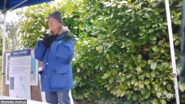
Mary Dogsworth, parks and recreation and community services director for the City of Lakewood, led a public meeting to gather neighborhood feedback on a pilot project to develop one street-end as public waterfront access. The city selected the site as a pilot among a set of 12 street ends citywide and presented a schematic design, timeline and management considerations.
City officials said the pilot intends to provide at least one ADA-accessible street-end per lake and to test approaches for shoreline management, vegetation control and neighborhood coordination. “The idea is making one site per lake to make sure it's ADA accessible,” Dogsworth said. She told attendees the city is treating the project as a pilot so staff can test how to develop, manage and maintain small street-end sites without creating safety or erosion problems.
The meeting focused on three practical constraints that will shape any work: regulatory permitting, maintenance and parking/access. Dogsworth said any work within 200 feet of the water will require a shoreline permit and that the city must follow shoreline-management standards even when removing invasive plants. She also said the city has allocated funding to a street-end program and that the current phase is schematic design; construction drawings and permitting could push implementation into next year. “It just depends on what we come up with and then how fast those things can occur,” Dogsworth said.
David de la Cruz, parks capital project manager, attended and described the schematic shown to residents: repaved approach to the street end, one ADA-accessible parking space, a short ADA path to the water, removal of invasive plants with native plantings, limited shoreline armoring with rocks or logs rather than large infrastructure, and a small picnic area. City staff emphasized the drawings were conceptual, not construction plans, and that a site survey and permitting would come next.
Residents expressed a mix of support for modest, family-friendly access and concern about neighbor impacts. Recurrent priorities voiced by attendees included kayak access, a place to fish, family-friendly design, and small-scale seating or logs to sit on. Neighbors requested protections for private driveways and mailboxes, clearer signage showing where public right-of-way begins, and clarification on where parking would be allowed. Several residents asked about fences or defined boundaries to reduce inadvertent encroachment onto private property; staff said boundary treatments would be considered during design.
Speakers repeatedly raised maintenance and risk-management questions. Dogsworth and staff said volunteer cleanup and stewardship will be encouraged but must follow a shoreline maintenance plan and training so that removal of invasives does not increase erosion or harm water quality. Staff noted past volunteer clearing at other sites led to erosion and subsequent remediation work, and said the city seeks to avoid repeating that outcome.
Other neighborhood concerns included pets and enforcement, possible noise from skateboarding or bicycles on a paved approach, and whether a single designated parking space would be enough for larger craft like long kayaks. City staff said the right-of-way is typically 60 feet at the site and that the city will perform a survey to confirm exact boundaries before construction decisions.
On timing and funding, staff said the council reviewed street ends in 2023, identified 12 candidate sites and directed resources toward developing a pilot. Staff described the current work as schematic design and community input, with construction drawings and permitting to follow; the city aims to have design consensus by the end of this year and to proceed with permitting and construction subject to approvals and regulatory timelines.
The meeting closed with staff asking participants to sign in to receive updates and to participate in small-group “speed-dating” stations to collect additional ideas and concerns for this site and for waterfront access across the city. City staff said they will return to the community with revised designs after incorporating feedback and after completing the survey and permitting assessments.
Ending: The project remains in planning and community-input stages; no formal approvals or construction contracts were recorded at the meeting. Staff listed next steps as completing a survey and schematic design, consulting shoreline permitting staff, preparing construction drawings, and returning with more detailed proposals and timelines to the neighborhood.
