Resident Douglas York presses council over tax map errors; council says dispute is a civil matter
Get AI-powered insights, summaries, and transcripts
Subscribe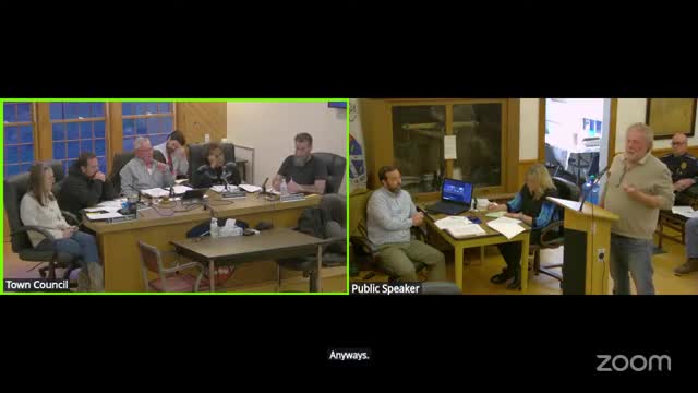
Summary
Douglas York spent more than an hour presenting records and maps he says show long-standing errors on Hopkinton’s tax maps and asserted those errors have been used against him. Councilors and the town solicitor told York that ownership disputes must be resolved in Superior Court.
Hopkinton resident Douglas York used the council’s public comment period April 21 to present surveys, historic maps and deeds he said show two problems on the town’s tax maps: an omitted corner of land he describes as “five-eighths of an acre” and a roadway shown on other town maps that tax maps do not reflect.
York said the tax maps have been wrong “for a long time” and described a sequence of surveys, a prior lawsuit and filings he said cloud his deed and have caused him legal fees and personal harm. He distributed multiple documents, including a 2005 engineering survey and aerial photos dating to the 1960s, and asked the council to correct the town’s records.
Town officials repeatedly advised York that a dispute over ownership or prescriptive rights is a private civil matter. Town Solicitor Steven Siphal told York: “It sounds like you need to go to court and figure out who owns what. And then you can come and talk to the tax assessor and the council about updating a map that is based on a court judgment.” Several councilors echoed that guidance and said the town cannot adjudicate competing private claims.
Planning staff and council members noted differences between a tax map (for assessor records) and other town road maps and said those elements serve different administrative purposes. The planning director reviewed York’s packet and said, based on maps shown at the meeting, it appeared unlikely that high-density housing could be sited on the corner York referenced; the planner advised York to file or re-file surveys and to pursue legal remedies to clear title if he wants the tax map changed.
York asked that disputed parcels be annotated on the tax map to prevent further use of the current map records in litigation; the solicitor and councilors said that marking tax maps would not resolve ownership and encouraged York to seek court resolution. The council did not take formal action on the matter; the clerk and staff were asked to accept York’s materials for the record and to check whether older survey copies are already filed in town records.