Developer presents mixed-use concept plan for CP-25-1; Warner Road realignment and floodplain pathway discussed
Loading...
Summary
A consultant for property owner Kieran Bassaretti presented a concept plan (CP-25-1) proposing mixed-use development with multifamily, retail along US-42, potential Warner Road realignment and pedestrian pathway through a floodplain area.
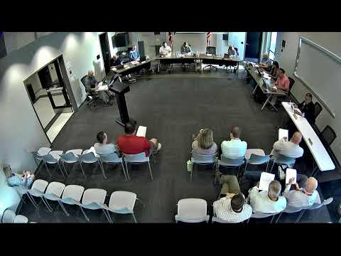
Todd Farris, principal of Farris Planning and Design, presented a concept plan for CP-25-1 on behalf of property owner Kieran Bassaretti. The plan proposes a mixed-use development with retail frontage along US-42, multifamily housing fronting new internal streets and residential lots to the north. The design anticipates relocating Warner Road to the center of the site to create an internal road spine and improve site access.
Farris described constraints and opportunities tied to the site's floodplain and floodway: "We started looking at other ramifications of the floodway and the floodplain, which is a big portion of this site through kind of the northern third of it," he said. He noted a narrow portion of the creek crossing on the property that could allow a path connection without full floodway studies. Council members and staff asked about intersection spacing, the relationship to Pleasant Valley Boulevard and whether Sugar Run connects through adjacent parcels; Farris and staff confirmed one remaining parcel separates a direct connection but said easements and pathway continuity are envisioned.
Why it matters: The concept would change traffic patterns, add housing and retail capacity and create a regional pathway connection; ODOT's concurrent study of US-42 (noted by the presenter) will influence curb cuts and intersection spacing. Council and planning commission comments focused on bringing buildings up to the street with parking behind, reducing long road lengths within the subdivision pods and providing buffers along adjacent properties.
Next steps: The presenter said the team will continue annexation and development-plan submittals and coordinate with ODOT on intersection spacing and potential curb cuts. Planning and Zoning previously reviewed the concept and forwarded it to council for feedback; formal zoning and subdivision applications would follow.