Officials press, developers question Flagstaff future‑growth map and density ranges
Get AI-powered insights, summaries, and transcripts
Subscribe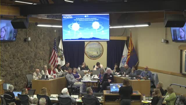
Summary
City and county staff presented the future growth illustration — a parcel‑level map that shows preferred land‑use categories and desired densities for the Flagstaff region — and asked elected officials and the public to flag locations for further discussion.
City and county staff presented the future growth illustration — a parcel‑level map that shows preferred land‑use categories and desired densities for the Flagstaff region — and asked elected and appointed officials and the public to flag locations for further discussion.
“Housing that is more affordable has been the number 1 answer on every single survey for the last 2 years,” said Sarah Dector, comprehensive and neighborhood planning manager for the City of Flagstaff, summing the engagement work that shaped the preferred scenario.
What the map is and why the city is using it The illustration converts the plan’s scenario work into parcel‑specific land‑use categories: urban/suburban/rural centers; urban and suburban corridors; employment and university/research districts; parks and federal lands; and urban, suburban and rural neighborhoods. Staff said the map is parcel‑specific so it can trigger conformance findings under state consistency rules and guide capital investments.
Selected desired densities included in the draft - Urban center: 50+ dwelling units per acre - Suburban center: 29+ du/ac - Rural center: 7+ du/ac - Urban neighborhood: 20+ du/ac - Suburban neighborhood (inside UGB): 5–40 du/ac; outside UGB: 2–14 du/ac - Rural neighborhood: 0–4 du/ac (Exact ranges and compatible zones are captured in staff tables and the zoning compatibility appendix.)
Points of contention Developers and some elected officials asked staff to add flexibility for large greenfield parcels and to account for topography and non‑developable acreage when calculating effective density. Multiple speakers flagged the large state‑owned and privately‑owned parcels near John Wesley Powell and Butler as examples. Chris Harrison (Roberts Communities) and Jim Hill (Grand America/Little America parent company) asked that minimum effective densities be relaxed or clarified for very large master‑planned parcels so infrastructure costs and steep slopes do not force by‑right low‑density outcomes or make projects infeasible.
Staff response and process constraints Staff said the map reflects a preferred scenario derived from scenario modeling (UrbanFootprint), community surveys and a technical advisory group. Alex Steinberger, consultant on the scenarios, told officials the preferred scenario was the one that best reduced vehicle miles traveled, reduced water and energy demand and put more residents near transit and parks.
Officials’ concerns - Several elected officials said the city’s zoning already allows tall buildings in many places and asked staff to be clear about how the map interacts with existing zones and Prop 207‑era rights. - County leaders reminded the group the Flagstaff Regional Plan is an amendment to the county comprehensive plan and that county process differs for conditional use permits and subdivisions.
Next steps Staff said they will provide clearer documentation about how map designations map to existing compatible zoning, how developers might request minor plan amendments (e.g., to designate a parcel corridor if it fronts a planned collector), and how the plan will be used in city and county development review. Officials asked staff to return with a short, plain‑language desk guide and clearer code‑linkage proposals.
Ending: The map will remain draft while staff refines the zoning‑compatibility tables and responds to greenfield proponents’ requests for an approach that accounts for topography, infrastructure cost and non‑developable acreage.