Planned trails on private land prompt policy shift: officials favor flagged private‑land markers over exact lines
Get AI-powered insights, summaries, and transcripts
Subscribe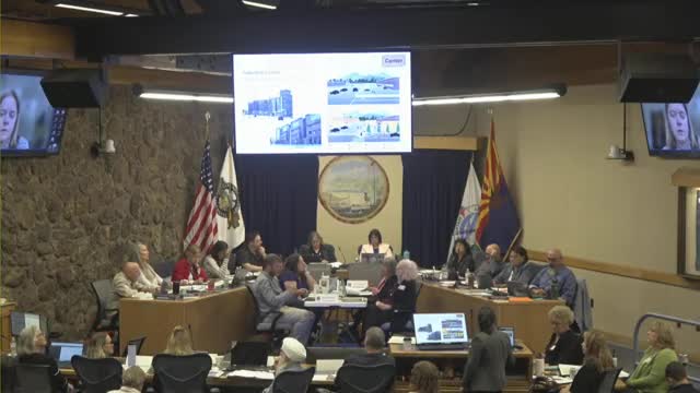
Summary
A major debate at the joint Flagstaff Regional Plan retreat concerned whether planned trails that cross private land should be shown as lines on the map or denoted by a different marker and a legal disclaimer.
A central debate at Friday’s joint regional plan retreat concerned how the Flagstaff Regional Plan should show planned trails that cross private property.
At issue: the draft plan uses dashed lines to show “planned and proposed” trails. Several private‑land owners and the City’s legal and parks staff raised concerns that showing dashed lines on a public digital map can drive recreational trespass and create safety and fire risk on private property. “We just had a fire that came up. Fortunately it was snuffed out early, but it could have been a significant tragedy,” said a private‑land representative in public comment.
Public and official reactions Developers and private owners urged the map to avoid an impression that the dashed line equals a legal public trail. Little America and other large parcel owners told officials dashed lines had encouraged social‑media‑driven trespass.
Most elected and appointed officials at the retreat preferred a middle ground: keep the plan’s trail intent visible but change the symbology or add clear disclaimers for private parcels rather than showing a final line. Several speakers suggested use of a distinct color or marking for planned trails on private land along with a map legend stating clearly: “Planned trail shown does not constitute legal public access unless a legal trail easement is recorded.”
Staff view and next steps Staff described two options for responding to comments: (1) maintain the dashed‑line approach with an expanded disclaimer in the plan and online map; or (2) change to a less‑specific symbology (for example, arrows or a unique color) for planned trails that are located on private parcels where no easement exists.
After an on‑the‑spot vote among elected and appointed officials, a clear majority favored a private‑land distinction (the retreat’s “Sweet‑Mandino” compromise): show trail intent while using a distinct visual treatment and strong legal disclaimers for non‑easement routes. Staff said they will now draft revised map symbology and stronger legend language and circulate it for review.
Ending: The joint body asked staff to return the map with a clearer visual treatment for non‑easement trail corridors and with recommended language the city and county can use on the public web map to discourage trespass and explain legal status.