Rancho Mirage briefed on state fire‑hazard severity maps; city must adopt local map by July
Get AI-powered insights, summaries, and transcripts
Subscribe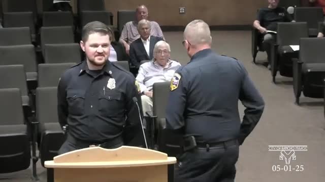
Summary
Deputy fire marshal Cole Hetrick told the Rancho Mirage City Council on May 1 that the State Fire Marshal’s proposed local responsibility area maps designate about 4,600 acres of the city as "moderate" fire‑hazard severity and that state law requires the city to adopt the maps within 120 days.
Deputy fire marshal Cole Hetrick and Palm Springs area fire officials updated the Rancho Mirage City Council on May 1 about the State Fire Marshal’s proposed fire‑hazard severity zone maps and the city’s next steps under state law.
Hetrick said the state published proposed maps on March 24 that cover local responsibility areas (LRA) within incorporated cities and that the maps are based on modeling (ember cast, fuel loading, prevailing winds), not local suppression capacity or defensible space. "We were part of phase 4 here in Riverside County… the map that was published specifically for the Rancho Mirage city" showed a single highlight of moderate hazard, he said, adding that about 4,600 acres were included in that moderate classification and that most are hillsides and foothills.
Hetrick referenced “government code section 5,179 B 3” as the statutory timetable requiring cities to post maps for public review and then adopt them; he said the city must adopt the maps within 120 days and forward the adoption to the state (the target date given at the meeting was July 22). He also said the city may increase mapped areas or severity but may not decrease or reclassify to a lower category.
Hetrick explained technical differences between state responsibility areas and local responsibility areas and that local moderate classifications generally involve awareness and voluntary measures rather than mandatory Chapter 7A Wildland‑Urban Interface construction requirements. He listed recommended home‑hardening and defensible‑space steps for property owners (clearing gutters and roofs, trimming dead vegetation, using ember‑resistant vent screens, and avoiding combustible mulch in a 0–5 foot ember‑resistant zone under pending legislation).
Council members and residents asked whether inspections or disclosures would follow and whether insurers could use the maps. Hetrick explained that CalFire conducts annual LE‑100 defensible‑space inspections in state responsibility areas but that local responsibility areas do not have a mandated annual inspection program; he said the city or county can assist on request. On insurance use, Hetrick said the State Fire Marshal’s FAQ states insurers do not have a right to use the maps as the sole determinant of insurability and that property owners could complain to the California Department of Insurance if they believed an insurer used the maps improperly.
Chief Mike Beverland (Riverside County Fire leadership for the area) also briefed the council on related community protection work and on recent Insurance Services Office (ISO) evaluation improvements for the three‑city joint fire protection partnership; he said the joint ISO rating improved from 3‑3X to 2‑2X and that the community is in the top 6.5% nationally under the updated model.
Hetrick said staff has already made the maps available for public review and will work with the city to draft an ordinance, schedule a public hearing and submit the adopted map to the state. No formal council vote took place during the presentation; staff described the statutory adoption schedule and next administrative steps.