National Weather Service advises Okaloosa residents: 'All it takes is one storm' — focus on local impacts, surge and rapid intensification
Get AI-powered insights, summaries, and transcripts
Subscribe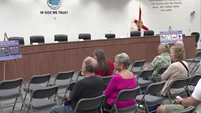
Summary
The National Weather Service in Mobile cautioned that seasonal outlooks are not a substitute for local forecasts, emphasized storm-surge maps and warned about rapid intensification and the forecasting limits for intensity versus track.
Jason Beeman, meteorologist in charge at the National Weather Service (NWS) office in Mobile, told an Okaloosa County audience that seasonal hurricane outlooks do not replace local impact forecasts and urged residents to prepare for local outcomes rather than rely on seasonal counts. "All it takes is 1 storm to be a bad season for us," Beeman said.
Beeman explained that NWS local offices translate the National Hurricane Center’s broad track and intensity forecasts into county-level expected impacts. He warned that the familiar forecast cone shows only the probable path of a storm’s center, not the full area of impacts. "That cone is only talking about where the center of the storm is likely to go," Beeman said, and he added that impacts such as storm surge, rainfall and tornadoes can extend well outside the cone.
The meteorologist emphasized storm surge complexity, noting that surge depends more on a storm’s size and exact track than on its categorical intensity. Beeman used Hurricane Michael as an example of how small track changes can produce major differences in local surge. He described NWS potential-storm-surge maps that estimate how much water could inundate specific locations and urged residents to consult those maps to assess risk to individual properties.
Beeman also discussed rapid intensification and limits in intensity forecasting. He said forecasting a storm’s track has improved, but intensity — how strong winds will be at landfall — remains harder to predict. "When we talk about rapid intensification, it's a real thing," he said, and recommended residents build in a safety margin for planning because intensity forecasts can change quickly in the final days before landfall.
On messaging and public alerts, Beeman recommended redundant ways of receiving weather information — weather radio, local television partners, official NWS products and county emergency-management channels — and warned against relying on single social-media model runs or unvetted long-range posts. He advised that significant local details typically become clearer in the 3–5 day window before landfall, with watches and warnings generally issued within 48–36 hours as appropriate.
Beeman closed by directing residents to the local NWS page (weather.gov/mob) and social accounts for timely local updates and to county resources for preparedness guidance.