Parks and trails briefing: Richmond Inspire will map park access and guide trail investment
Get AI-powered insights, summaries, and transcripts
Subscribe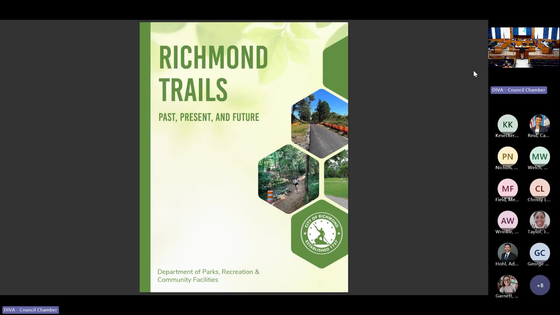
Summary
Parks staff briefed the committee on the city’s trail system and previewed Richmond Inspire, a planning tool that will map park connectivity and usage; staff said the draft (about 90% complete) will be presented to organizational development on Dec. 10 and shared for public review afterwards.
Parks staff provided an overview of the city’s trail network and described Richmond Inspire, a forthcoming plan and mapping tool designed to guide investment and connectivity across parks and trails.
Department staff said Richmond’s trail network traces back to the 1970s and expanded under the James River Park System and later trail managers. Staff reported the city maintains about 52 miles of single-track trails, roughly 20 miles of greenway trails (existing or under construction) and 12 bridle courses; they estimated the James River Park System alone attracts about 300,000 users.
The department said Richmond Inspire has been under development for 18 months and will produce spatial analysis and priorities for connecting residents to parks. Staff said they will bring a 90% draft to organizational development on Dec. 10 and then seek additional public input; the plan will include metrics such as ensuring residents are within a 10-minute walk or bike ride of a park and will incorporate usage data from recreation centers.
Committee members asked about funding and priorities; staff said previous projects in the James River master plan had been funded with a mix of private grants and city funds and that plans like Richmond Inspire will help prioritize grant and partner funding. Staff emphasized the plan’s ability to produce data on park usage and identify high-priority connectivity projects.