Commission hears broad public testimony on Transit‑Supportive Development Overlay; public hearing continued to September
Summary
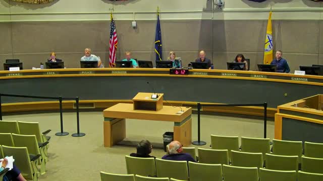
The Planning and Zoning Commission on July 14 heard hours of public testimony on a proposed Transit‑Supportive Development Overlay intended to allow denser mixed‑use development near transit corridors and continued the combined cases 2025‑0030 and 2025‑0034 to September for further outreach and refinement.
The Planning and Zoning Commission on July 14 held a lengthy public hearing on a proposed Transit‑Supportive Development Overlay (TSDO), combining cases 2025‑0030 and 2025‑0034, and continued the hearing to a date to be set in September 2025 so staff can pursue additional outreach and technical refinements.
Planning staff and the planning director described the overlay as a tool to encourage housing, mixed uses and walkability along transit corridors identified in the comprehensive and 2040 land‑use plans. Staff said the overlay aligns with the multifamily tax‑abatement boundaries from AO 2025‑35 S1 and would allow, in overlay areas, minimum lot sizes down to 1,400 square feet, building heights up to 75 feet (about six stories), full use of lots without standard setbacks, and nonresidential development in residential base zones provided at least one dwelling unit is included; staff also proposed limiting nonresidential gross floor area to 2,000 square feet in residential base zones.
Planner Daniel Wakanda Foster (Long Range Planning) told the commission the overlay is grounded in policy from the Anchorage 2020 comprehensive plan, the 2040 land‑use plan and the mayor’s housing strategy. Foster said the overlay’s boundaries were based on the multifamily tax incentive boundary and federal opportunity zones, and that staff removed parks, wetlands and most industrially zoned parcels except where 2040 rezoning had been contemplated. He told the commission that the TSDO as presented covers roughly 11,866 acres (staff noted this represents about 8% of developable land in the municipality and a substantial share of developable land within the Anchorage Bowl).
During staff presentation, Foster and Planning Director Veil Sabaab described key standards: a 1,400‑square‑foot minimum lot size, allowance of up to 75‑foot heights, no general lot coverage maximum or base‑zone setbacks (other rules such as fire, utilities and easements still apply), and a use table largely modeled on the R4A zone (the city’s higher‑capacity mixed‑use residential zone). They said the use table preserves natural resource protections and imposes an 8‑foot minimum landscaped buffer where TSDO abuts a non‑TSDO zone.
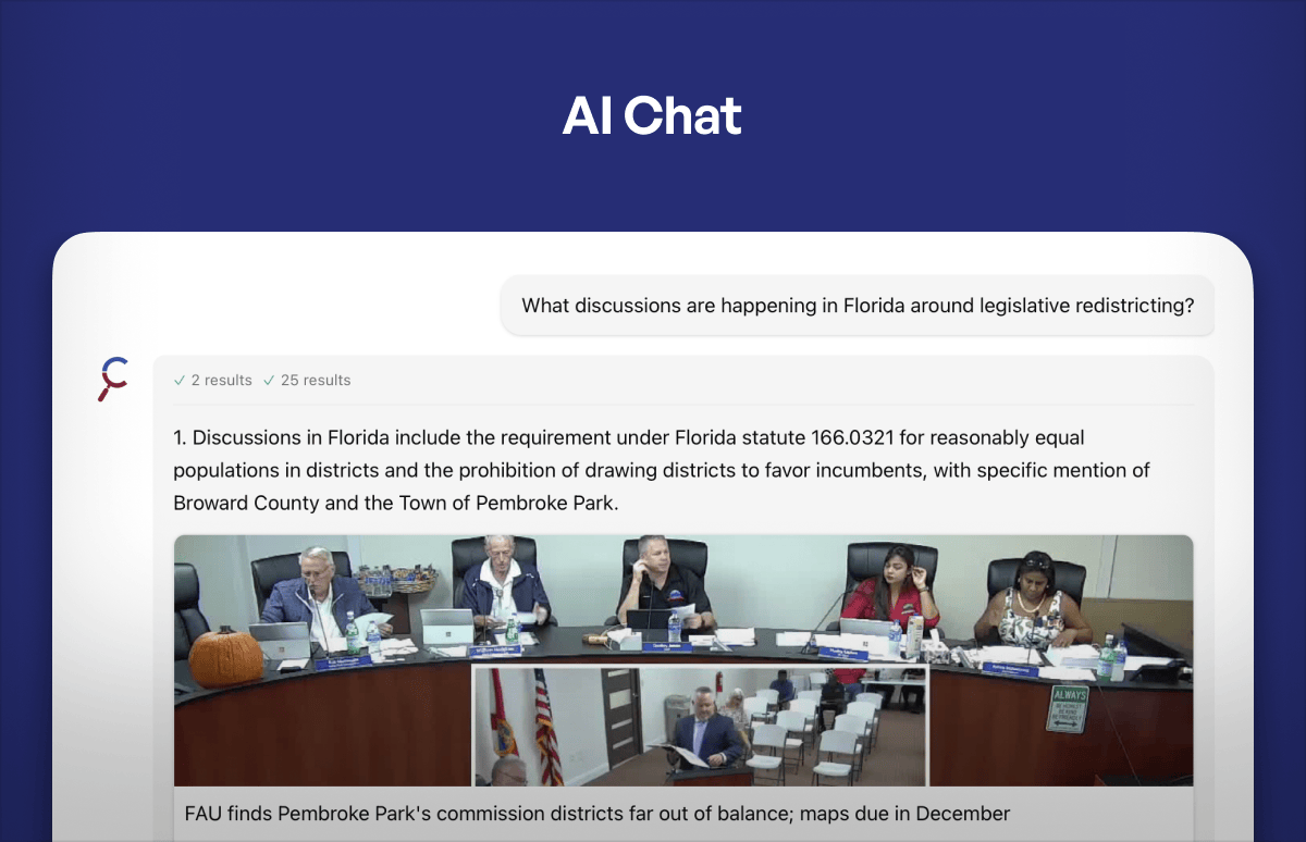
Public testimony ran several hours and reflected both support and concern. Speakers who supported the overlay included neighborhood residents, planners and housing advocates who called the overlay a practical tool to expand housing supply near transit, allow neighborhood‑serving retail and childcare, and support future higher‑frequency transit. Supporters included developers and nonprofit advocates (for example, YWCA Alaska board chair Davina Napier testified in favor, saying the overlay “can help to begin rectifying the harms of the past” in historically marginalized neighborhoods) and parish representatives such as Dwayne Hyman of Saint Mary’s Episcopal Church, which said the overlay could help the church develop affordable housing on underused campus land.
Other public commenters and community councils raised concerns about the overlay’s breadth, implementation and process. Turnagain and Rabbit Creek community council representatives, and several residents including Eleanor Andrews and John Isaacs, urged a more robust outreach process, tighter boundaries, graduated height transitions, and protections for single‑family neighborhoods. Concerns included: limited mailed notice to all affected property owners under municipal rezone rules used for the proposal; the overlay’s potential to override existing dimensional and design standards (for example, eliminating setbacks, lot‑width minimums and private open‑space requirements); the 2,000‑square‑foot cap on commercial uses in residential base zones (several speakers called it too small for viable neighborhood businesses); and lack of clear linkage or commitment to improved transit service concurrent with denser development.
Specific technical points raised during public testimony and the committee discussion included: - Staff said the overlay’s acreage figure is about 11,866 acres (staff packet) and estimated that represents about 8% of developable land in the municipality while covering roughly 70% of developable acreage within the Anchorage Bowl map area. - Lot minimums proposed at 1,400 square feet (staff noted some Anchorage zones, such as downtown and R4A, currently have no minimum), and staff discussed practical limits such as utility connection requirements that may constrain how small lots can be in practice. - The overlay would allow a mix of housing typologies including “5‑over‑1” (five stories of wood‑frame over a concrete podium), but staff noted structural and soil conditions in Anchorage may affect feasibility. - Nonresidential development in a residential base zone would generally be required to include at least one dwelling unit, and such nonresidential uses were proposed to be limited to 2,000 gross square feet per lot (staff and multiple commenters urged reconsideration of that figure or alternatives such as per‑tenant caps or percentage limits).
Commissioners and staff discussed procedural and substantive next steps. Staff recommended—and the commission agreed—to continue the public hearing to provide time for targeted outreach, potential working groups with community councils and stakeholders, refinement of overlay boundaries and technical details (height transitions, commercial limits, drive‑thru rules, etc.), and to prepare clearer, zoomable parcel maps. The commission voted to combine the two cases earlier in the hearing (motion by Commissioner Ron, seconded by Commissioner Winchester) and later voted to continue the public hearing to a date to be determined in September 2025 (motion to continue stated on the record by Commissioner Krishna and seconded by Commissioner Eber); the commission also entered a committee‑of‑the‑whole for an extended, staff‑led discussion during the meeting.
Why it matters: staff and supporters framed the overlay as a way to concentrate future growth in corridors with infrastructure capacity and to align land‑use and tax incentives with housing goals. Opponents and concerned residents cautioned that the overlay as written could allow abrupt changes in established neighborhoods without adequate notice or design protections and urged a working group and expanded outreach prior to assembly consideration.
Next steps: the commission continued the combined cases 2025‑0030 and 2025‑0034 to a date in September 2025 to allow further outreach and technical revisions. Staff said they will pursue more community meetings, provide more detailed parcel‑level maps, and consider stakeholder working‑group approaches to address items raised at the hearing.