Board orders 45% flood discount on 1.7'acre island, adjusting Simpson farm assessment
Get AI-powered insights, summaries, and transcripts
Subscribe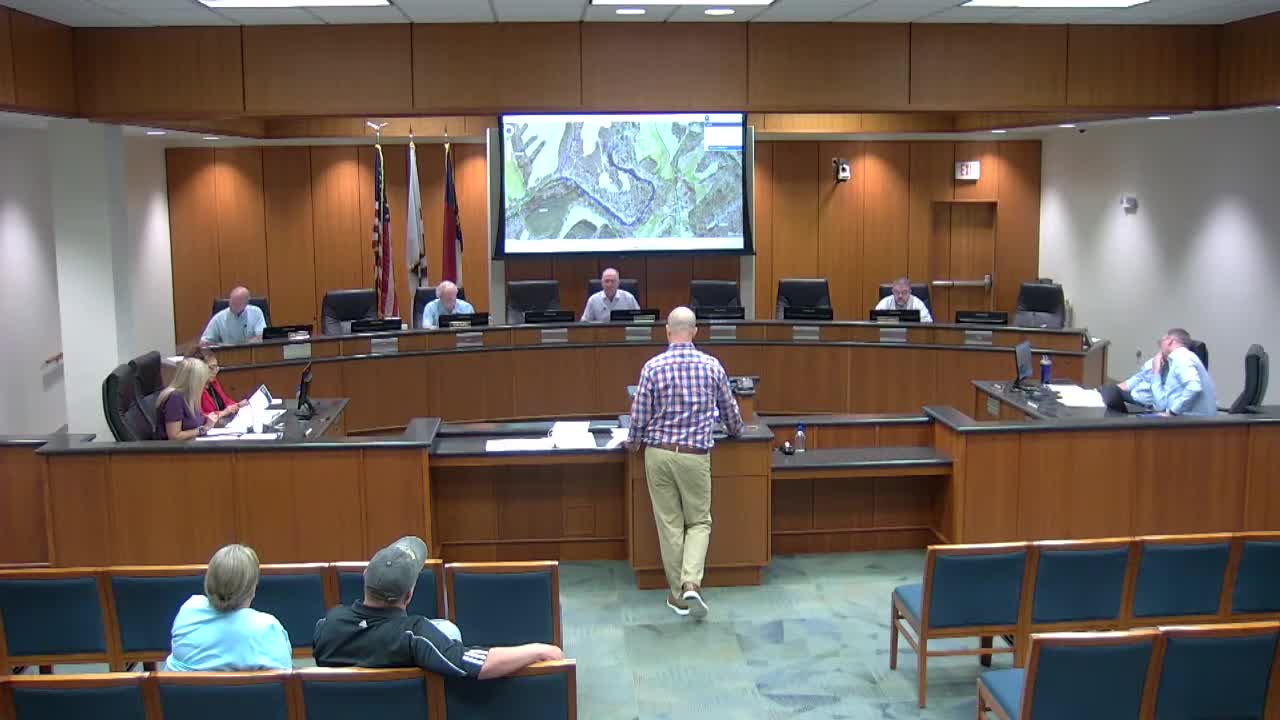
Summary
After additional mapping and discussion, the board directed that an approximately 1.7'acre FEMA floodplain "island" on a 55.382'acre Simpson property receive a 45% flood influence adjustment, and the board adopted the county's revised valuation with that change.
Rodney and Sean Simpson returned to the Board of Equalization and Review for a follow'up on a previously tabled valuation appeal for a 55.382'acre tract in northeastern Union County. County staff measured a FEMA floodplain feature described at the hearing as an "island" and reported it to be about 1.69 acres; the staff recommended applying the same 45% flood influence that the county applies elsewhere. The board approved applying the 45% influence to that measured acreage as part of the parcel's valuation adjustment. "That bottom field down there, which floods, ... it ought to get something," Rodney Simpson told the board, describing repeated crop losses in the lower field and emphasizing steep topography and limited usable acreage. County staff reviewed surrounding vacant'land comparables and said the subject's per'acre rate remained below the neighborhood median after accounting for flood and access constraints; staff noted topography lines and that several nearby parcels were treated similarly for topography and flood in the county's roll. Board members agreed an adjustment for the measured island was appropriate and made a motion to accept the county's valuation with the 45% flood influence applied to the approximately 1.7'acre parcel. The adjustment was adopted and staff will apply the change and notify the taxpayers in writing.