Wasco County adopts Gorge map clarifications after USDA concurrence
Summary
The county approved Resolution 25-015 to formally accept Columbia River Gorge National Scenic Area land-designation map clarifications after receiving concurrence from the U.S. Department of Agriculture.
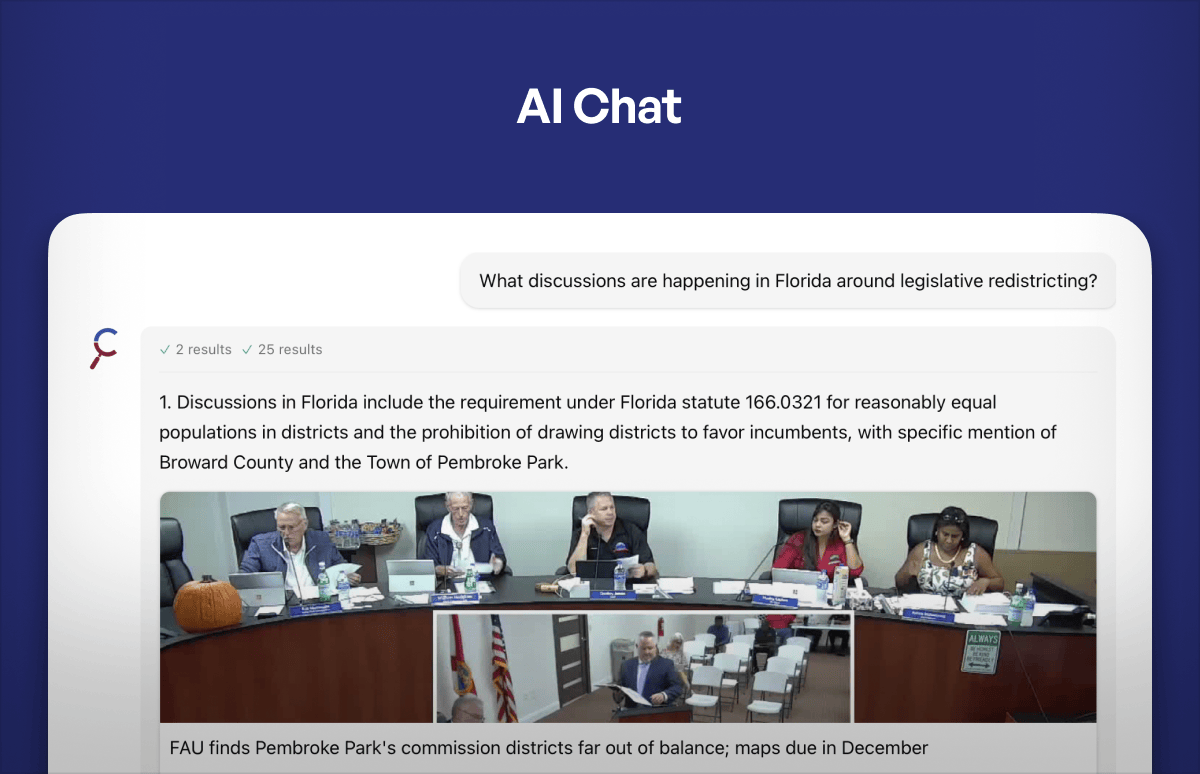
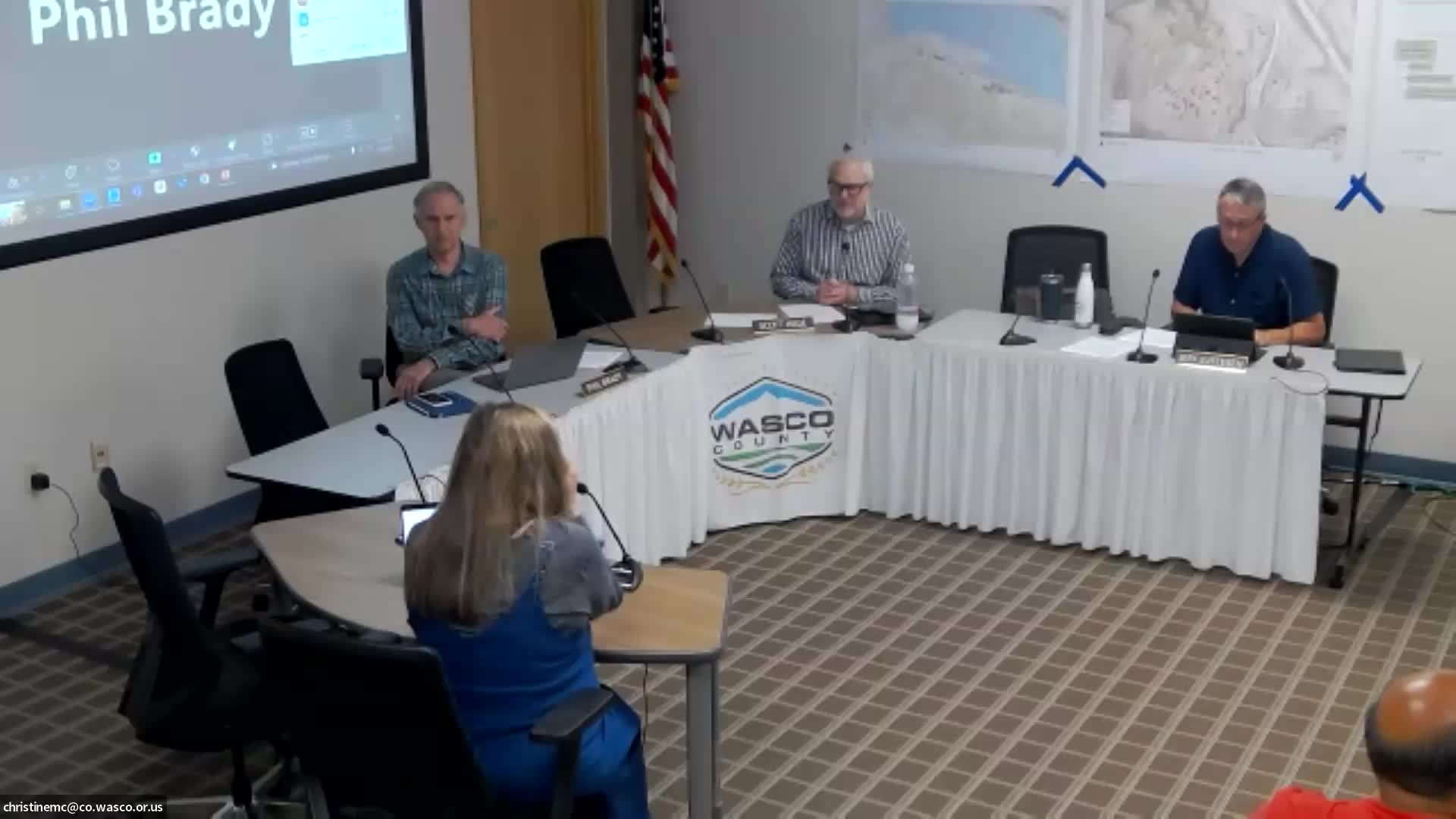
Wasco County commissioners voted unanimously July 2 to approve Resolution 25-015, formalizing map clarifications to Columbia River Gorge National Scenic Area land designations that correct locally maintained wildlife-range data.
Kelly Halsey Glover, Wasco County community development managing director, told the board the county had negotiated the clarifications with the Columbia River Gorge Commission after its GIS specialist did not recognize a 2020 update to the county’s deer and elk winter-range maps. Glover said the county “received information that the USDA Secretary of Agriculture had submitted concurrence back to the Gorge Commission,” and she asked the board to formalize acceptance so the county could implement the land‑use designation clarifications.
Why this matters: The county said its locally updated sensitive wildlife-range mapping — developed with regional wildlife biologists and the Oregon Department of Fish and Wildlife — reflected changes such as orchard fencing and local agricultural patterns that the county wanted the Gorge Commission to recognize before implementing land‑use rules.
Board action: A commissioner moved to adopt Resolution 25-015 “in the matter of the Columbia River Gorge National Scenic Area Land Designation Map clarifications.” A second was recorded and the motion passed by unanimous vote.
What was not changed: Officials said this action clarified designation labels and did not change federal floodplain or other FEMA maps. Glover told commissioners some other National Scenic Area mapping conflicts — for example between the city urban growth boundary and Scenic Area maps — remain unresolved and will be handled separately.
Next steps: County staff will work with the Gorge Commission and local GIS staff to implement the corrected labels and proceed with any technical mapping updates required by the Scenic Area process.