Chief Data Officer reports open‑data and geospatial progress; pilot MOU launched for interagency sharing
March 28, 2025 | Information Management and Technology, Joint, Committees, Legislative, Oregon
This article was created by AI summarizing key points discussed. AI makes mistakes, so for full details and context, please refer to the video of the full meeting. Please report any errors so we can fix them. Report an error »

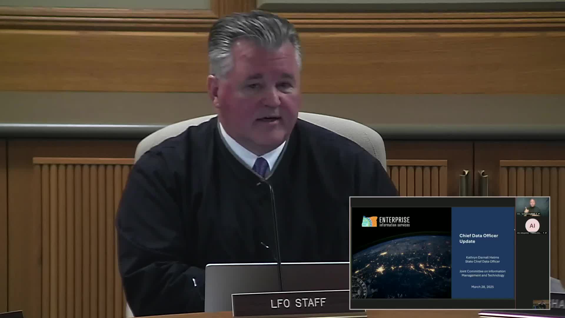
Catherine Darnell Helms, the State of Oregon’s chief data officer, briefed the Joint Committee on Information Management and Technology on March 28 on the Chief Data Office’s open data and geospatial work.
Helms outlined statutory duties established by prior legislation: House Bill 3361 created the Chief Data Office and House Bill 2906 required public bodies to share geospatial data for public purposes. She said agencies must inventory data, appoint open‑data coordinators and produce biennial open‑data plans; those inventories and plans are published on the state open data portal (data.oregon.gov).
Helms described program status: most agencies have named open‑data coordinators and many have published at least one machine‑readable dataset. She emphasized that publishable open data must be machine readable (PDF tables do not qualify) and highlighted examples available today, including state expenditures and budget data published with metadata and data dictionaries for users.
On interagency data sharing, Helms said the Chief Data Office convened a working group of 13 agencies following the governor’s 2024 executive order on housing and homelessness and drafted an enterprise memorandum of understanding (MOU). A pilot MOU this year will include Oregon Housing and Community Services, the Oregon Health Authority and the Oregon Department of Human Services; the pilot aims to vet procedures and agency maturity assessments and to produce a playbook and training to support broader adoption in 2026.
Helms also reported geospatial program accomplishments: Oregon’s GeoHub is live and hosts framework datasets, the 2024 statewide ortho (aerial) imagery collection has completed, and the new State Geographic Information Officer position will be posted in April 2025. She said accurate and complete locational data are critical to Next Generation 911 and other services.
Members praised the progress and asked follow‑up questions; Helms noted a biennial report filed with the committee provides additional detail and pledged to post strategy and GeoHub materials referenced during the meeting.
View full meeting
This article is based on a recent meeting—watch the full video and explore the complete transcript for deeper insights into the discussion.
View full meeting
