Historian traces Morgantown ghost town, mills and depot remains in Morgan Township talk
Get AI-powered insights, summaries, and transcripts
Subscribe
Summary
At the Morgan Township Historical Society’s April meeting, BJ Miller presented archival maps, field finds and oral histories documenting the former village of Morgantown, local mills and a railroad depot site, and pointed to artifacts and foundations that may help guide preservation or further research.
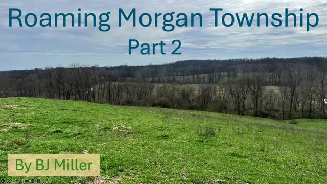
BJ Miller, of the Salty Dog Museum in Shandon, told attendees at the Morgan Township Historical Society’s April meeting that maps, oral histories and fieldwork point to a once‑active settlement called Morgantown that later disappeared from local maps.
Miller said the settlement appeared on maps through 1930 and remained visible in some sources until about 1958. He reported teams locating parts of an old roadbed, a probable log‑house foundation and pieces of domestic hardware and nails that suggest a small 19th‑century community once stood there. Miller also showed photographs and maps indicating two mills at the site, a siding and a depot that he and collaborators located by matching historic photos to surviving features such as rail ties and telephone poles.
Why it matters: Miller framed the work as local history that can help residents identify heritage sites and inform potential preservation. He described a mix of archival sources (19th‑ and early 20th‑century maps, an 1882 county encyclopedia and oral histories) and on‑the‑ground surveying using metal detectors and property owner permission.
Miller said Morgantown lay roughly a half‑mile from the county line and occupied land near the John Shroyer farm. He described the route through the village as the main State Road between Lawrenceburg and Oxford in earlier maps, and said the town’s decline coincided with later road realignments that bypassed the settlement. Miller told the meeting that the town was “the size of Okeanna” in its heyday and that the road changes helped shift traffic away from the original village site.
He summarized physical evidence his group recovered: brass shoe or belt buckles, square handmade nails, a probable bed socket and other small finds from a cleared roadbed and an apparent cabin site. Miller reported locating a likely site for a tub‑type sawmill attributed in an 1836 map to David Griffith and said he and volunteers identified railway sidings and old railroad ties where a depot and elevator once stood.
Miller also highlighted cultural and institutional traces: he described a Union Library kept at Smith Mill with recorded shares purchased in 1821, multiple mill types on Drive Fork (including grist, saw, fulling and flaxseed oil mills), and references to Shaker families and farms that persisted in records and local place names. He displayed multiple historic maps (1875, 1895, 1914, 1925, 1930 and 1958) showing how roads and property lines changed over time.
On fieldwork and provenance, Miller said his group requests permission from property owners before searching private land and reported they had been refused only once. He asked members to report foundations, old log houses or artifacts they may encounter and invited attendees to view the artifacts and archival materials at the museum after the meeting.
The presentation included several photographic comparisons of historic and modern features at the former depot site and at Okeanna (historically called Tariff). Miller and collaborators used persistent features such as telephone‑pole lines and a driveway corner to align images and confirm locations. He also noted oral histories and interviews—some conducted by park staff in the 1990s—documenting personal recollections about roads, mills and family farms that supplement the maps.
Miller closed by inviting attendees to examine the display and the documented deeds, maps and oral histories he had brought to the meeting. He said his group plans additional field visits when conditions permit (for example, when creek water levels are lower) to search creek banks and foundations for additional remains.
