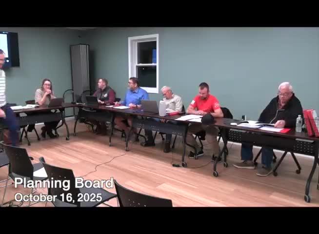
Planning board reviews three zoning scenarios for 600‑acre Hubbardston sandpit site
Get AI-powered insights, summaries, and transcripts
Subscribe
Summary
Consultants presented three scenarios — conservation‑focused, employment‑focused and a hybrid — for the former sandpit site; the board expressed broad support for a balanced hybrid (scenario C) and asked consultants for follow‑up options and comparables.
Consultants from Niche Engineering presented three zoning scenarios for roughly 600 acres of former sandpit and gravel land in Hubbardston, and the Planning Board directed the consultants to return with tighter, illustrated options and town comparables.
The presentation and public outreach summary, given by Allison Evans of Niche Engineering, identified major constraints — wetlands, vernal pools, a wellhead protection area and parcels protected by Article 97 — and offered three character‑area approaches: (A) an enhanced residential‑agriculture/conservation approach, (B) an employment‑focused approach, and (C) a blended plan that concentrates village‑style development near Gardner Road while protecting large portions of the site.
The hybrid scenario drew the most support in the Planning Board discussion. Board members and staff said they prefer a balanced approach that preserves the site's environmental resources while allowing limited, appropriately scaled commercial and housing options near existing access points.
Evans summarized the process: "We've been working with the town since the spring. We went up to the site, looked at the existing conditions, we did a study of other sandpit developments, and we moved into scenario testing," and she noted that the team's public survey and a senior‑center meeting informed the scenarios. The Niche team said about 200 acres of the site are effectively constrained by state and federal protections and that the town's aquifer protection overlay will strongly influence what can be permitted.
Board members raised recurring concerns about traffic, septic/wastewater capacity, and impacts on Pitcherville Road. Town engineer and longtime resident Bill Murray noted the site's soil and wellhead characteristics and warned that municipal water and sewer access would be expensive and politically difficult: "If I'm developing a BJ's, I'm not gonna put a package plant — I'm gonna go to the empty space on the other side of the line and tap into municipal sewer and water," he said, arguing that large format retail is unlikely without regional utility infrastructure.
Planning staff summarized regulatory constraints that would shape any bylaw changes, including the existing aquifer protection district and the town's subdivision standards. Planner Alec (surname not specified in the record) told the board that overlay zoning is one tool that can be used to offer alternative development standards without forcing properties out of conformance with the underlying zoning.
The board voiced a preference for scenario C (the blended approach). Members asked consultants to: provide a short flyer showing 2–3 concrete dimensional options (lot sizes/frontages) and examples from comparable towns; clarify which parcels the proposed subzones would apply to; and identify the regulatory and infrastructure triggers (for example, when shared systems or package plants would be required). One board member summed the informal mood: "I always pick C." (statement as recorded in the meeting.)
The consultants said they will return with more detailed options, illustrated comparisons and a short list of comparable towns. The board did not amend or adopt any bylaw language at the meeting; planners and consultants framed the work as early, exploratory zoning guidance that would, if pursued, require further review, public hearings and interboard coordination.
Next steps identified at the meeting included: circulating the survey results and presentation to the public, producing a two‑page options flyer for board review, compiling comparable‑town dimensional standards, and preparing draft bylaw language only if the board identifies a preferred direction.
The board emphasized process and public engagement: any overlay or zoning change would be subject to public hearings and the town meeting legislative process, and would have to be reconciled with the aquifer protection regulations and Conservation Commission review.
The consultants and staff will return with the requested materials for the Planning Board's next steps and public outreach.
