Caroline County adopts agricultural land preservation fund; sets fee for solar on prime soils
Get AI-powered insights, summaries, and transcripts
Subscribe
Summary
Caroline County commissioners voted Tuesday to create an Agricultural Land Preservation Fund that will collect compensatory preservation contributions when solar projects and energy storage are sited on Class 1 or Class 2 soils.
Caroline County commissioners voted Tuesday to enact Legislative Bill 2025-011, creating an Agricultural Land Preservation Fund and requiring compensatory preservation contributions when solar energy generating stations, small-scale solar systems or energy storage devices are built on land containing Class 1 or Class 2 soils.
The measure, enacted after a fourth reading, establishes a new Chapter 75 in the county code and directs that money in the fund be used only to purchase development rights on agricultural land in Caroline County through agricultural preservation easements, including purchases made through the Maryland Agricultural Land Preservation Foundation. A county staff member summarized the bill as creating “a fund to receive payments of compensatory preservation contributions to Caroline County when solar energy generating stations, utility scale, solar energy systems, small scale, and energy storage devices are developed on a parcel of land” containing high-productivity soils.
Why it matters: Commissioners and staff said the bill aims to protect prime farmland (Class 1 and 2 soils) by channeling mitigation payments into local land-preservation purchases rather than allowing development proceeds to go elsewhere. The fund is limited by the bill to uses approved in writing by the Caroline County commissioners.
Key elements and discussion - Scope and mechanism: The charge will apply when any portion of a project area includes Class 1 or Class 2 soils. The county staff member said the county will determine the fee at final site plan approval and require payment “before a building permit would be issued.”
- Retroactivity and notice: The county indicated the requirement is retroactive only for projects that had not received final site plan approval. Staff said the county had been posting the proposed change on its website and including it in correspondence with solar developers prior to enactment.
- Calculation and valuation: Commissioners were told the county will use the countywide fair market value for farmland when available; for fiscal year 2024 that figure was about $7,500 per acre. Under the bill’s method discussed at the meeting, the compensatory contribution would be 75% of that value — roughly $5,600 per affected acre using the FY24 figure. If the county cannot obtain that valuation, staff said the alternative is to obtain two county appraisals to establish fair market value.
- Projects in the pipeline: During the discussion commissioners and staff listed several prospective or proposed solar projects that could be subject to the fee if they include Class 1 or 2 soils and have not received final site plan approval. Projects discussed included Preston Solar (reported as approximately 20 acres, with developer activity in flux), a Chaberton/Fettlesburg parcel (approximately 20 acres), a Halo 1 site in Goldsboro (about 40 acres), a Hobbs site (about 40 acres), and the Waypost Solar phase 2 at Cherrywood (staff estimated 500–600 acres for that phase). Staff estimated roughly 100 acres currently would be subject to the new requirement based on parcels the county is tracking, and commissioners discussed a county-level rough calculation that, at the FY24 valuation and the 75% rate, could yield in the low millions from projects then in process. Commissioners and staff characterized those acreage and revenue figures as approximate and tied to future determinations at final site plan review.
- Jurisdictional limits: Staff clarified that projects wholly inside municipal limits where the county lacks jurisdiction would not be subject to the county fee. The county will apply the contribution to the entire project area if any portion includes Class 1 or 2 soils, regardless of zoning district, except where the project is inside a municipality outside county permitting authority.
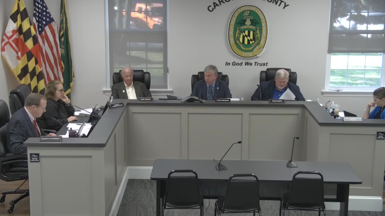
Votes and next steps Commissioner Porter moved to adopt and enact Legislative Bill 2025-011. After a second, the commissioners voted in favor; the chair announced, “The ayes have it,” and the bill was enacted. Staff thanked multiple county staff members for their work on the measure and said the county will use the applicable fair market value data (FY24 figures until updated county values are available) and follow the procedures written into the adopted chapter when calculating and collecting contributions.
Discussion-only points not resolved at adoption included requests for maps showing tier 1 and tier 2 soils (commissioners asked staff to circulate enlarged maps) and follow-up on exact acreage subject to the new chapter for each project in the pipeline. Staff said it would email maps and provide final acreage figures as site plans are submitted.
Ending: County staff said they will implement the new process at final site plan review and provide the valuation information as soon as updated county appraisal figures become available.
