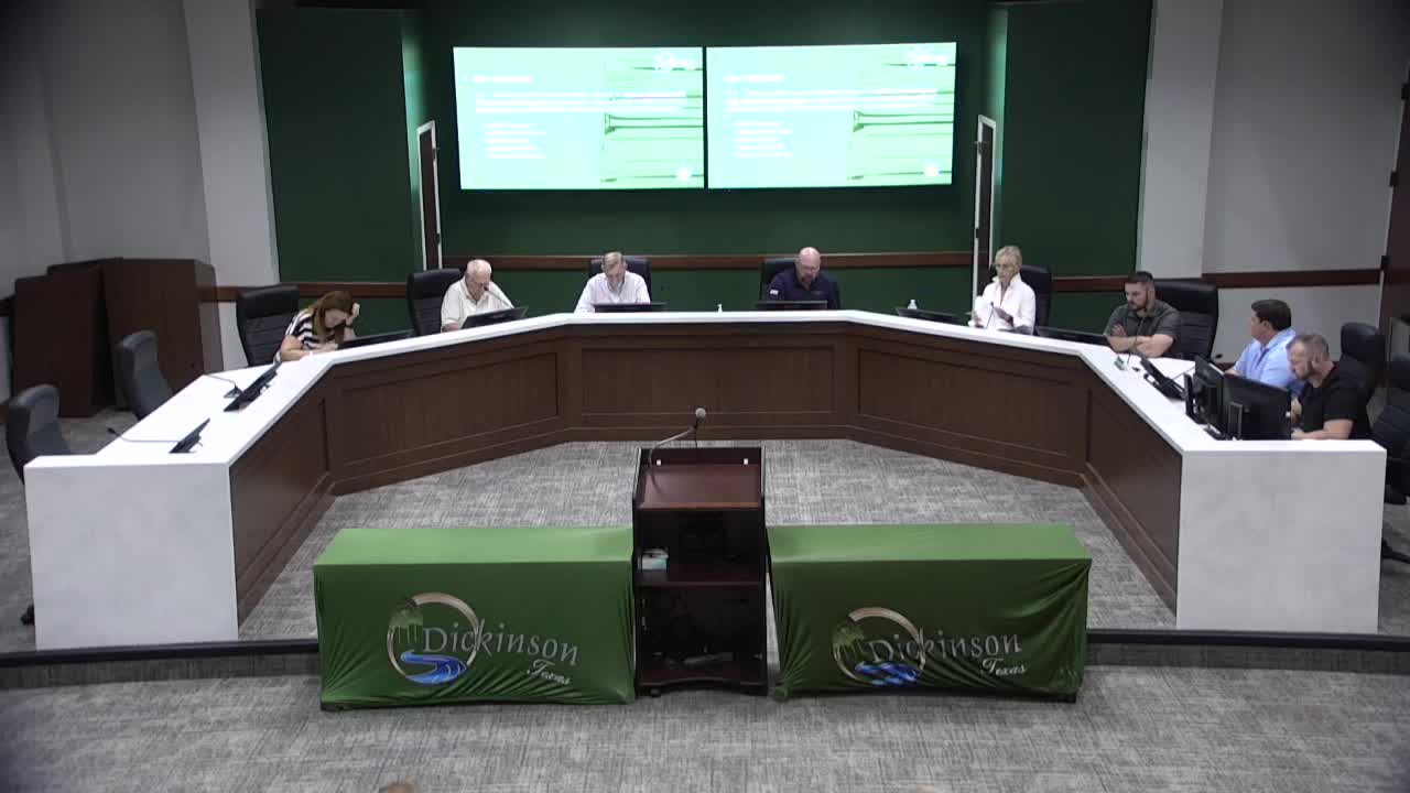
Dickinson planning commission approves Sanctuary Section 2 preliminary plat for 42-lot subdivision with conditions
Get AI-powered insights, summaries, and transcripts
Subscribe
Summary
The Planning & Zoning Commission approved a preliminary plat for Sanctuary Section 2, a 10‑acre, 42‑lot subdivision at 1600 Best Road, but added conditions requiring drainage, traffic and (where lawful) wildlife reviews after residents raised flooding and traffic concerns.
The Dickinson Planning & Zoning Commission on Oct. 21 approved a preliminary plat for Sanctuary Section 2, a proposed 10‑acre, 42‑lot subdivision at 1600 Best Road, with conditions requiring drainage and traffic studies and a wildlife review “in accordance with law.”
The action follows a lengthy public hearing in which multiple St. Edmunds Green residents and the homeowners association attorney said local drainage, repeated flooding during storms and narrow nearby roads make the site unsuitable without stronger mitigation. Residents said they fear the development’s detention pond and any elevation changes will worsen flooding that some said reached homes during Hurricane Harvey.
Developer Mike Bender and the project engineer told the commission the subdivision’s on‑site detention and outlet controls will keep post‑development flows at or below pre‑development rates. “It’s not gonna be any more water going into Saint Emmons than it’s going into it right now,” developer Mike Bender said, adding the designs met city requirements. Engineer Sel (Sal) Thint of Everest (identified in the record as the engineer of record) told the commission the firm modeled off‑site flows and sized detention to hold runoff; he said the design yields a “net 0 in terms of the drainage system” and that the discharge will be restricted to pre‑development rates using orifices and piping.
Homeowner Ed Schroeder, who said his house flooded during Hurricane Harvey, told the commission: “I do not want the retention pond from this development in any way flowing into the retention pond of our subdivision because the retention pond in Saint Edmunds Green is not sufficient to keep my house from flooding.” Other speakers asked that Best Road not be opened to create a traffic cut‑through, raised concerns about lot size compatibility with existing nearby houses, and requested details about construction staging and wildlife impacts.
Staff and the applicant described technical details during the hearing: lots will be generally 55 or 60 feet wide; storm‑sewer pipes inside the subdivision will be typical 24‑inch mains with detention outflow controlled by a small‑diameter restrictor (engineer cited a 6‑inch orifice as the outflow control); the applicant said buildings will be set above base flood elevation as required by code (engineer cited an 18‑inch freeboard above the base flood elevation for building pads). The engineer also said the model showed roughly 13.68 cubic feet per second (cfs) of contributing off‑site flow into the existing system and that the project includes an on‑site detention pond sized to hold storm volumes and discharge at no greater rate than existing conditions.
Commissioners debated options including denial, tabling and approval with conditions. After discussion about state “shot‑clock” rules that can cause automatic approval if the city does not act within statutory deadlines, the commission voted to approve the preliminary plat with conditions requiring a traffic impact analysis, a drainage impact analysis and — where legally permissible under city code and state law — a wildlife/environmental review and verification of the detailed engineering before construction permits are issued. The commission record shows the plat approval is a planning commission action that precedes the construction‑level permitting and detailed engineering review by city staff and the city’s outside consultants.
Next steps: the developer must complete construction‑level plans and submit those drawings and analyses to staff for detailed review; the city’s consultant will independently verify drainage calculations and the traffic analysis will determine whether roadway improvements are required and by whom (the applicant noted some Best Road segments lie inside neighboring League City limits and that coordination will be required).
