Parcel map for Les Sauls approved, splits 9.5‑acre Washoe County parcel into three lots
Get AI-powered insights, summaries, and transcripts
Subscribe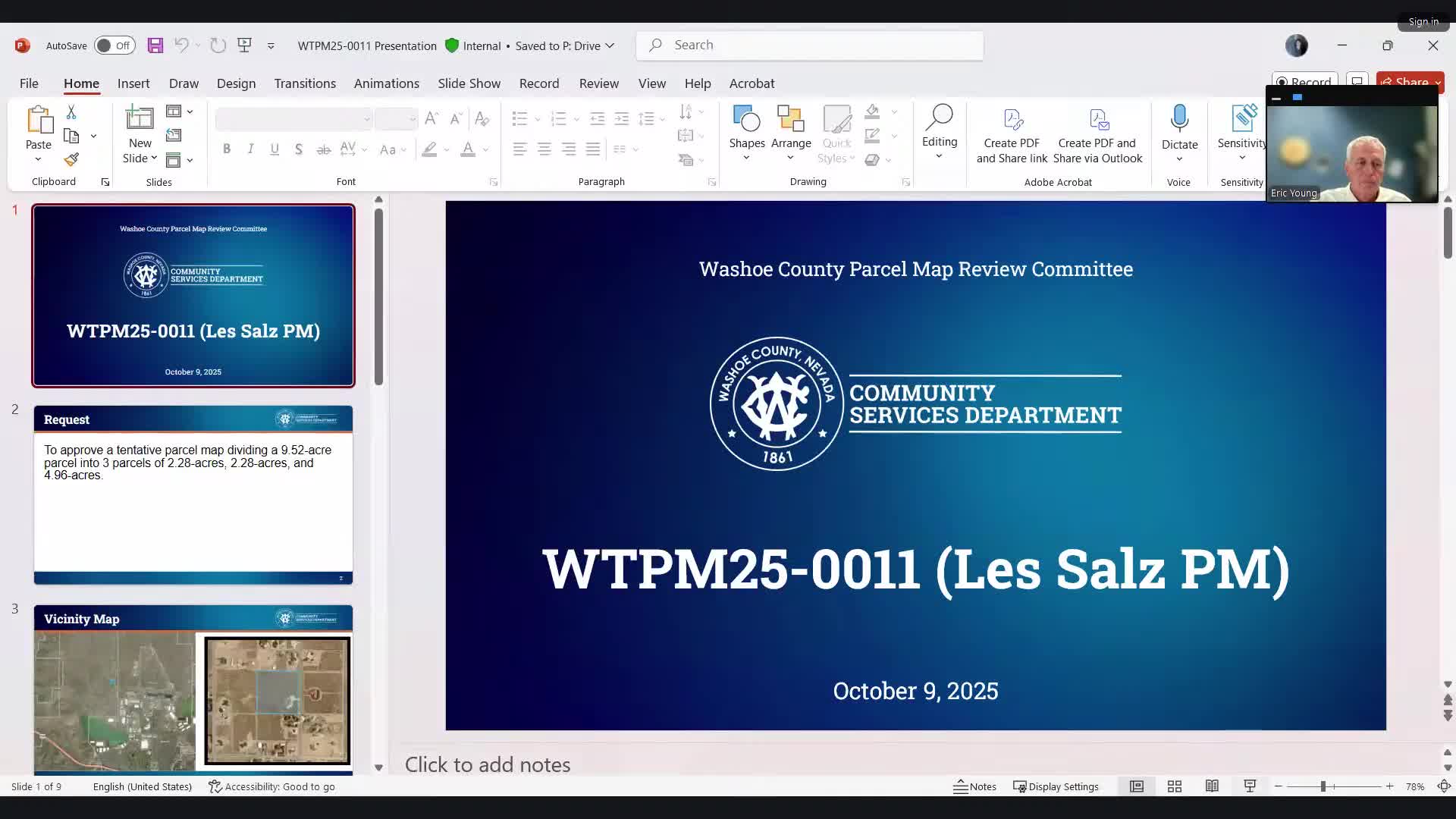
Summary
The Washoe County Parcel Map Review Committee approved a tentative parcel map to divide roughly 9.5 acres northwest of Stead into three parcels; staff recommended conditions including installation of dry line sanitary sewer laterals and setbacks will be measured from an existing access easement.
The Washoe County Parcel Map Review Committee on Oct. 9 approved a tentative parcel map (WTPM25-0011) to divide an approximately 9.5-acre parcel northwest of Stead into three lots, subject to the conditions in the staff report.
County senior planner Kat Oakley told the committee the proposal would create two parcels of about 2.28 acres and one parcel of about 4.96 acres, all meeting the minimum lot size requirement of 35,000 square feet in the site’s low-density suburban zoning. “There is a requirement for the installation of dry line sanitary sewer laterals to the edge of the parcel map area per a policy in Washoe County code in the North Valleys modifiers,” Oakley said, and noted staff’s recommendation of conditions of approval.
The motion to approve was made by committee member Wayne Handrock and seconded by Linda Kennedy. The committee voted unanimously to approve the tentative map. Wayne Handrock’s motion referenced Washoe County code in the findings and tied approval to the conditions listed in Exhibit A of the staff report.
Why it matters: the map creates buildable parcels in an unincorporated part of the county and establishes the conditions that will govern future building permits on the new lots. Committee members also emphasized how existing access easements affect setback measurements for future development.
Supporting details: Oakley said setbacks for existing structures will continue to be met with the proposed division. Committee members noted a 25-foot roadway easement around portions of the site and requested staff make clear to the applicant how setbacks would be measured from easement centerlines rather than parcel lines where applicable.
Applicant Randy Meyer of Meyer Survey was present and indicated he had no additional comments. The item was presented as having been reviewed by multiple agencies; any agency recommendations were incorporated into the recommended conditions of approval in the staff report.
The committee’s approval is a tentative map decision; the meeting materials noted that appeals must be filed in writing to the Planning and Building Division within 10 calendar days of the decision being signed and mailed to the original applicant.
Less critical details/follow up: staff will finalize findings and conditions and issue the final map when requirements, including the dry line sewer lateral installation and any agency clearances, are satisfied. The committee asked staff to confirm setback calculations to the applicant in final communications so builders will understand how easements affect future building permits.