Article not found
This article is no longer available. But don't worry—we've gathered other articles that discuss the same topic.
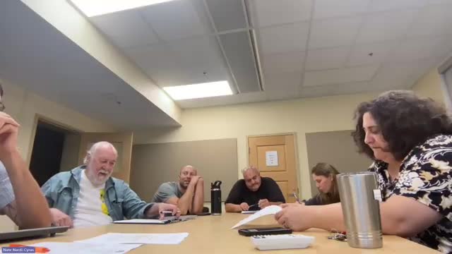
Torrington conservation panel weighs permit program for bow hunting on University Drive property
Commission advances bird‑box projects; Owl boxes to be built by Oliver Wolcott shop, Purple Martin site found unsuitable at Bowman Gardens
Commission explores ownership, stewardship options for 5 Points orchard and adjoining community garden
Conservation commission continues fee‑land inventory and easement monitoring; seeks public works assistance for access
Trail plan revised after utility easement issue; DEP recreational trails grant announced
Torrington Conservation Commission: Minutes approved; meeting adjourned