Article not found
This article is no longer available. But don't worry—we've gathered other articles that discuss the same topic.
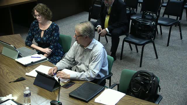
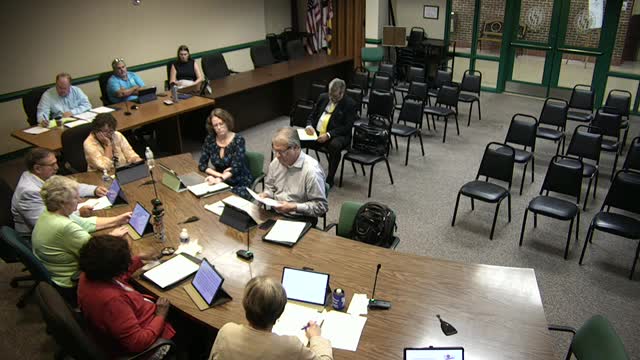
Draft land-use maps, growth areas and zoning categories remain under review; public speaker urges consideration of specific parcels
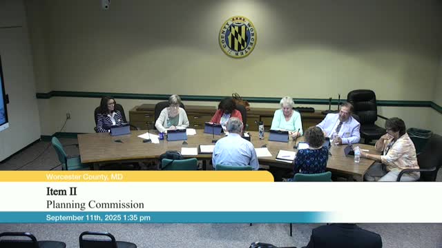
Planners update fisheries chapter; staff to add DNR catch data and local economic context including wind impacts