Article not found
This article is no longer available. But don't worry—we've gathered other articles that discuss the same topic.
Overland Park adopts new city flag after community design contest
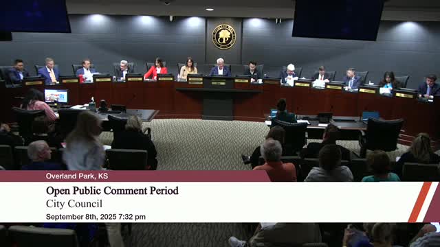
Resident says Overland Park officer brandished firearm outside home; asks council to require administrative leave for officers under criminal investigation
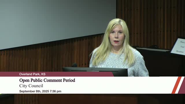
Neighbors press Overland Park council to deny River Ridge rezoning; planning commission recommended approval
Residents urge Overland Park to reject or scrutinize federal SS4A grant over ICE and DEI clauses