Article not found
This article is no longer available. But don't worry—we've gathered other articles that discuss the same topic.
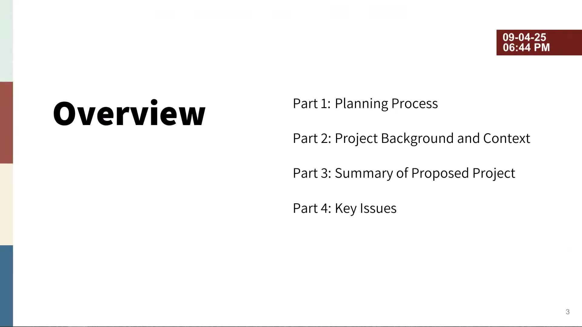
Boulder council proclaims September 2025 Pollinator Appreciation Month and signals intent to join Berlin Urban Nature Pact
Residents call for stronger e-bike enforcement; city staff clarifies where e-bikes are allowed
Residents urge Boulder council to protect Iris Fields after county lists park for sale