Article not found
This article is no longer available. But don't worry—we've gathered other articles that discuss the same topic.
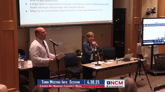
Norwood previews 10 articles for Special Town Meeting No. 2, including solar PILOT, veteran tax options and procurement rule changes
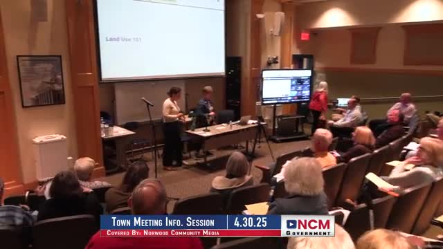
Norwood outlines land-use roles, zoning rules and permit processes ahead of zoning articles
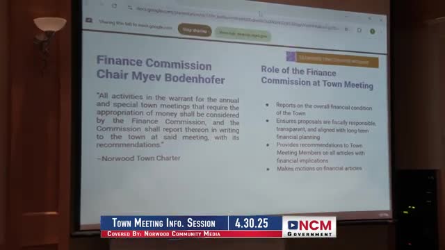
Norwood finance commission reviews FY26 budget materials and explains free cash and stabilization funds