County commissioners approve comprehensive rezoning for 15 properties along Route 50

July 03, 2025 | Worcester County, Maryland


This article was created by AI summarizing key points discussed. AI makes mistakes, so for full details and context, please refer to the video of the full meeting. Please report any errors so we can fix them. Report an error »

County commissioners approve comprehensive rezoning for 15 properties along Route 50
The Worcester Planning Commission convened on July 3, 2025, to discuss significant zoning changes affecting properties in the area. The meeting focused on two property cases, identified as 392 and 396, located directly across from Mr. Lynch's office. The discussion highlighted the evolving character of the neighborhood and the implications of recent rezoning efforts.

The commission reviewed a comprehensive sectional rezoning that expanded the number of properties from five to fifteen, stretching from Route 50 to Heron Creek on the west side of Route 589. This change was formalized through Resolution 19-2, which adjusted the zoning classifications of several properties along McAllister Road to ensure consistency across the area.

A key point of discussion was the property recently acquired by Mr. Rubicini, who sought to develop the site. Initially, he faced challenges due to a mismatch between the zoning classification (C-2) and the land use designation, which was not commercial. Following a favorable recommendation from the commission, the county commissioners amended the land use designation to commercial, aligning it with the zoning.

The meeting also addressed the critical area designations affecting the property, specifically the Limited Development Area (LDA) and Resource Conservation Area (RCA). The commission aimed to extend the C-2 zoning to create a clear separation between these two designations, as the RCA is intended for protection and should not be developed.

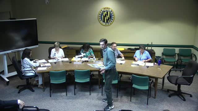
Mr. Lynch presented an exhibit illustrating the zoning lines and the boundaries separating the C-2 from the RCA. He emphasized the need for consistency between the zoning maps and the physical characteristics of the land, noting discrepancies in the official adopted critical area map from 2002. The commission acknowledged that while the official map is recognized, it contains inaccuracies that need correction.

In conclusion, the meeting underscored the commission's commitment to resolving zoning inconsistencies and ensuring that land use designations align with the current physical conditions of the properties. The next steps will involve further discussions and potential adjustments to the zoning regulations to reflect these findings accurately.

View full meeting

This article is based on a recent meeting—watch the full video and explore the complete transcript for deeper insights into the discussion.

View full meeting

Comments

    Sponsors

    Proudly supported by sponsors who keep Maryland articles free in 2025

    Scribe from Workplace AI
    Scribe from Workplace AI