Article not found
This article is no longer available. But don't worry—we've gathered other articles that discuss the same topic.
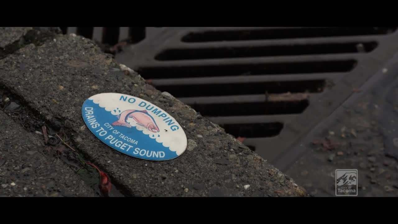
Tacoma Environmental Services partners with artists to raise stormwater and Puget Sound awareness
Tacoma Public Library reopens redesigned main branch with community hub and maker spaces
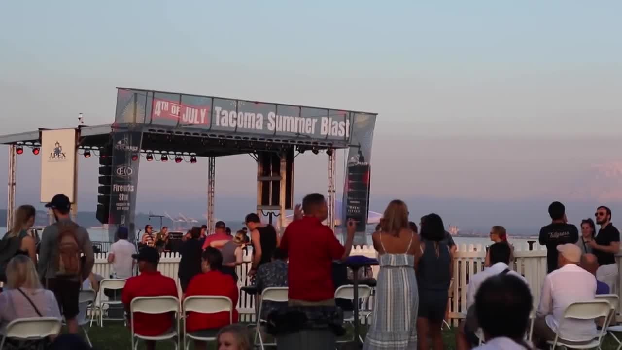
Tacoma warns fireworks are illegal in city limits; Summer Blast set for Ruston Way on July 4
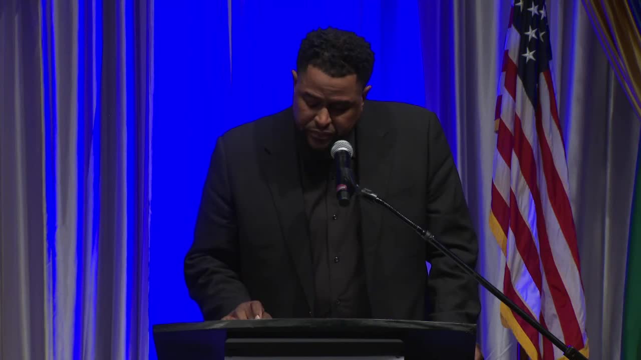
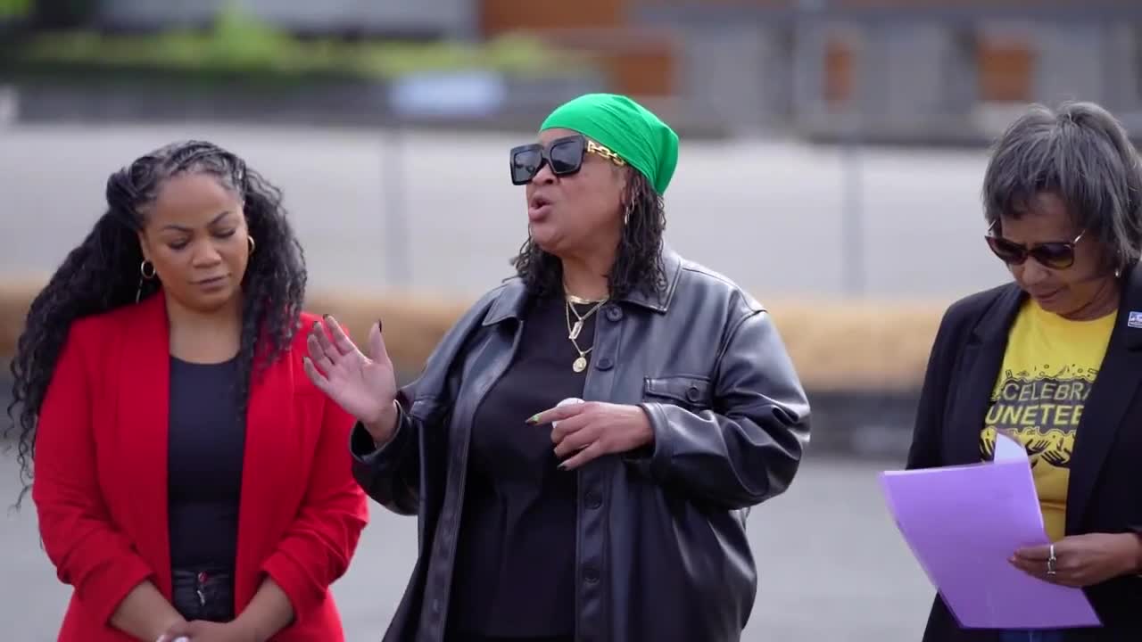
Tacoma marks Juneteenth and recognizes City of Destiny Awards recipients
Tacoma Arts Commission awards $100,000 to 25 local artists through Artist Initiative program
Tacoma Public Library announces Tacoma Reads 2025 and author event with Valerie Kaur