Article not found
This article is no longer available. But don't worry—we've gathered other articles that discuss the same topic.
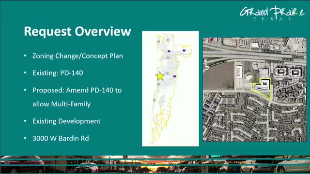
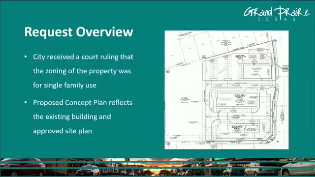
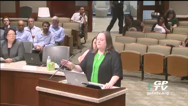
Commission denies zoning change for 3000 West Garden Road after commissioners cite "bait‑and‑switch" concerns
Commission rezones 2800 W. Camp Wisdom Road to planned development for retail
Commission approves PD amendment to allow single‑family home at 826 Forest Oaks
Commission approves rezoning request to allow duplex at 2033 Galveston Street
Commission reduces minimum hotel pool size in UDC text amendment
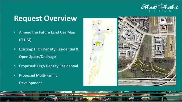
Commission adopts Echelon Grand Prairie comprehensive plan amendment and PD with cap on building stories