Article not found
This article is no longer available. But don't worry—we've gathered other articles that discuss the same topic.
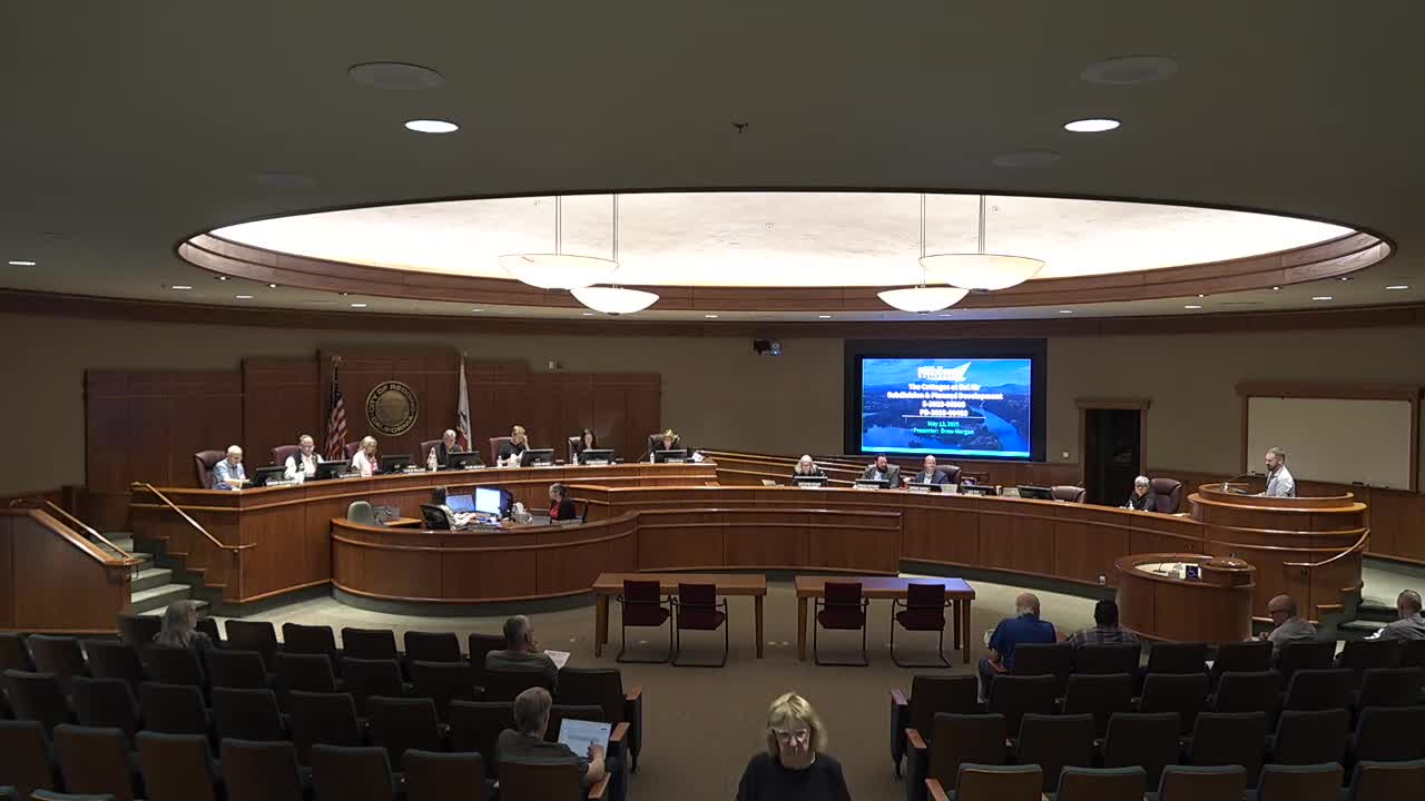
Planning commission approves Cottages at Bel Air tentative map after extended wildfire‑evacuation debate
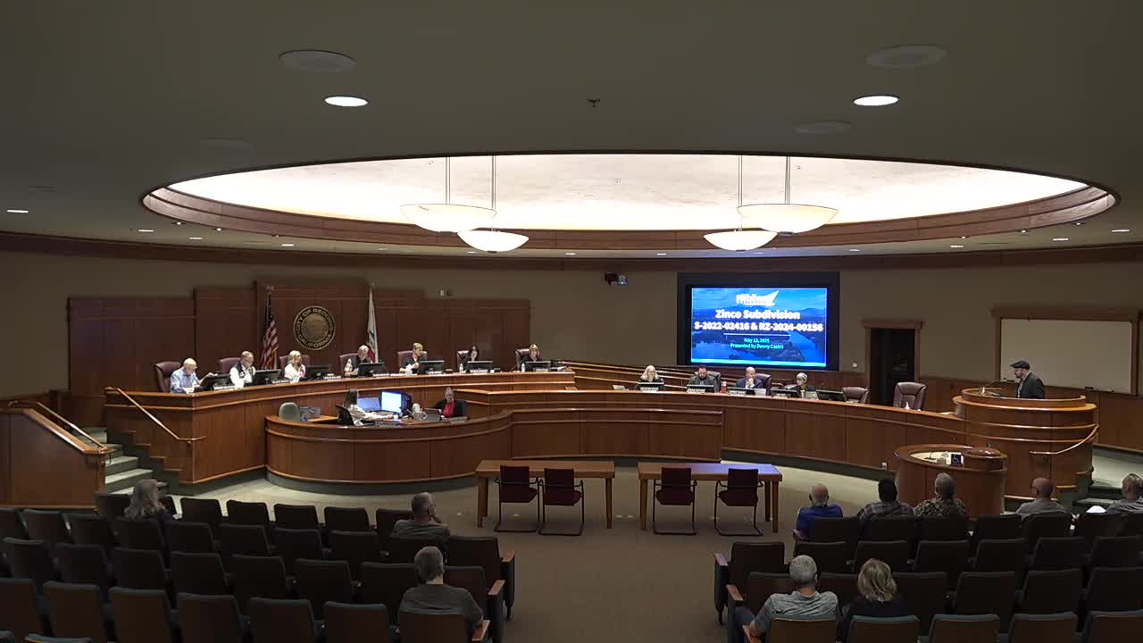
Planning commission recommends rezoning, tentative map for Zinko Subdivision after hearings on trees, wetlands and road access