Article not found
This article is no longer available. But don't worry—we've gathered other articles that discuss the same topic.
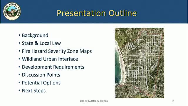
Council directs staff to adopt 2025 fire‑hazard maps and return with municipal-code changes
City receives 14 acre-feet allocation; council holds discussion on prioritizing water for affordable housing
Carmel council declines to schedule 2025 advisory vote on street addresses; committee work to continue
Carmel council signals support for new budget rules, 90/10 CIP guideline and larger reserve goal