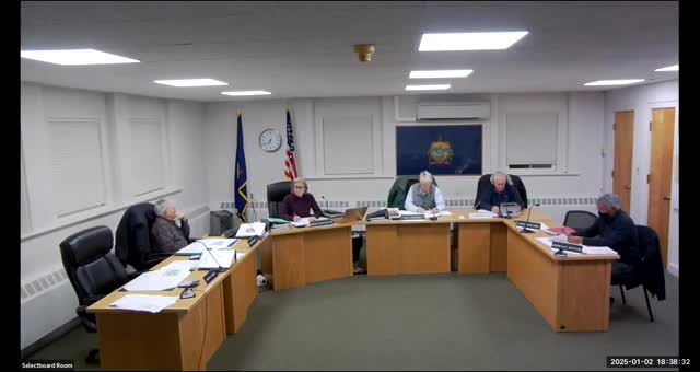
The Town of Rutland's Planning Commission convened on January 2, 2025, to discuss significant developments regarding local park design and flood hazard areas. The meeting highlighted ongoing concerns about safety and accessibility in the proposed park, particularly in relation to the nearby Simons Avenue, which is situated in a flood hazard zone.
One of the primary topics was the removal of a planned kayak launch from the park design. Commission members expressed skepticism about the feasibility of launching kayaks in the area due to strong currents and rapids, with one member recounting a conversation with a local fisherman who emphasized the impracticality and dangers of such an endeavor. The decision to exclude the kayak launch aligns with community feedback and safety considerations, reflecting a shift in focus towards more suitable recreational options.
The revised park design now includes a loop trail of approximately 750 linear feet, picnic areas, and an overlook, while ensuring that no structures infringe upon the right-of-way along the North end of the park. The design will feature a single entrance and parking lot, streamlining access for visitors.
The commission is currently working on finalizing the budget for the project, which may still undergo adjustments. This meeting underscored the importance of community input in shaping local recreational spaces, particularly in areas vulnerable to flooding. As the planning process continues, the commission aims to create a safe and enjoyable environment for residents while addressing the unique challenges posed by the local geography.