Article not found
This article is no longer available. But don't worry—we've gathered other articles that discuss the same topic.
CPRA board approves agenda and minutes, unanimously votes to enter executive session on two pending lawsuits
CPRA announces FY2025 parish matching awards for restoration, totals and project list revealed
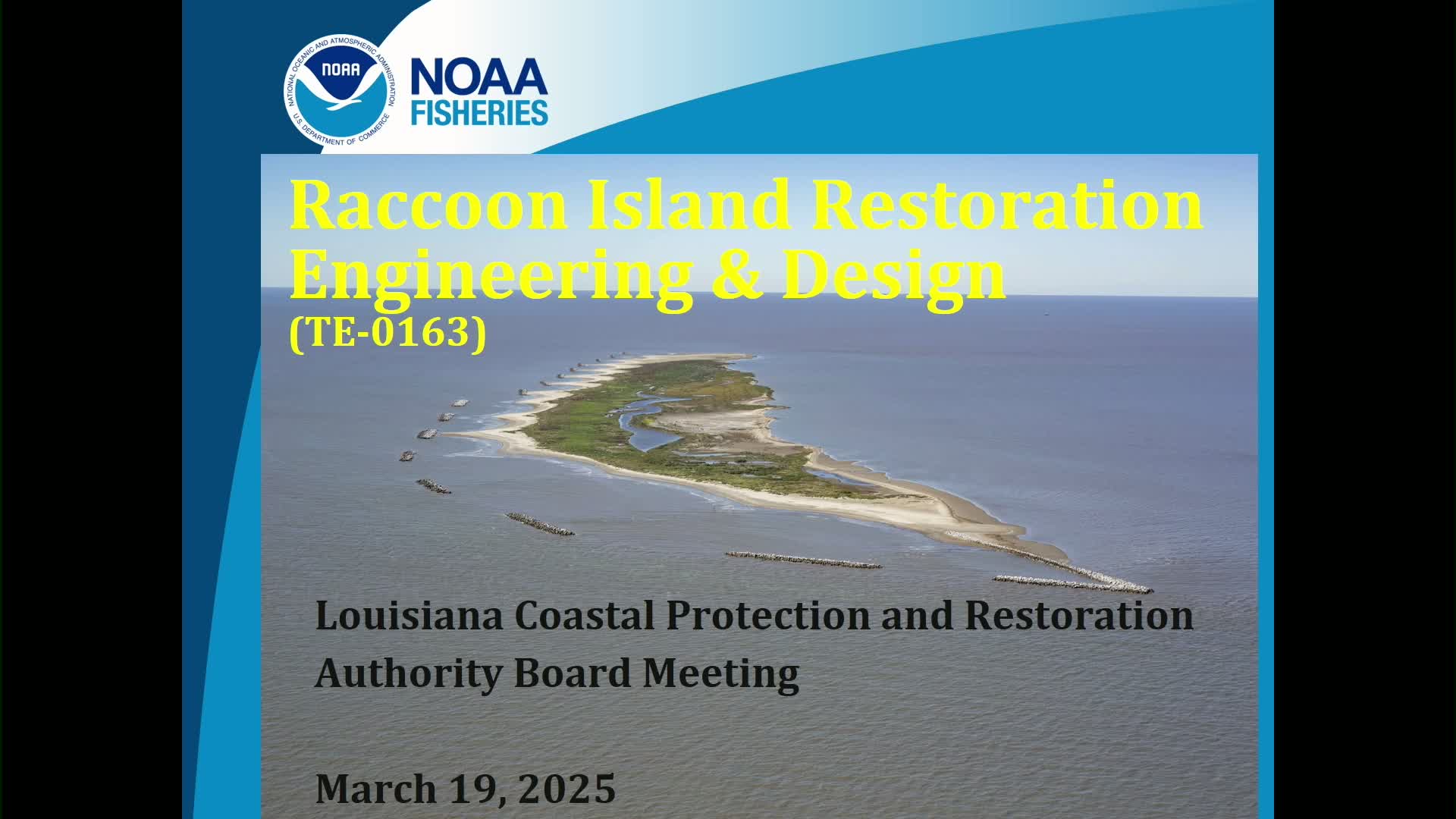
NOAA describes Raccoon Island design options; short-listed sand sources and 30% design underway