Article not found
This article is no longer available. But don't worry—we've gathered other articles that discuss the same topic.
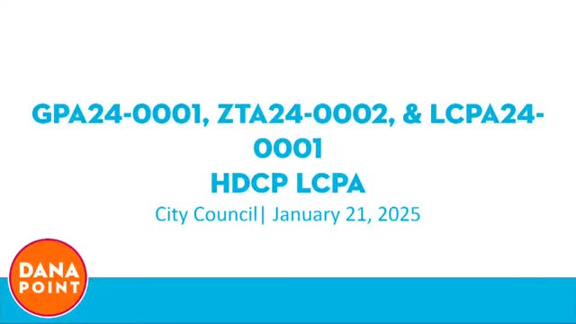
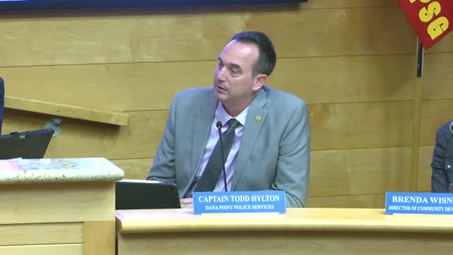
Dana Point council clears amendment to replace ‘funicular’ with broader ‘strand transit system,’ directing staff to pursue replacement options
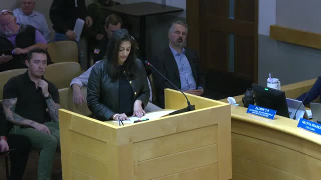
Local organizers seek council blessing for fall “Good Life” festival at Sea Terrace Park; council asks for details before approving special event permit
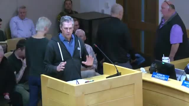
Residents protest replacement of Santa Clara Avenue cul‑de‑sac barrier; council says staff will follow up
Council agrees to resubmit zoning revisions aimed at clarifying parking and definitions for emergency shelters and supportive housing
Survey finds broad satisfaction with life in Dana Point; council creates ad hoc strategic‑plan committee to use results in next budget cycle