Article not found
This article is no longer available. But don't worry—we've gathered other articles that discuss the same topic.
Vietnam War memorial ready to open after phase one; phase two stalled by exhibit disagreement with parks agency
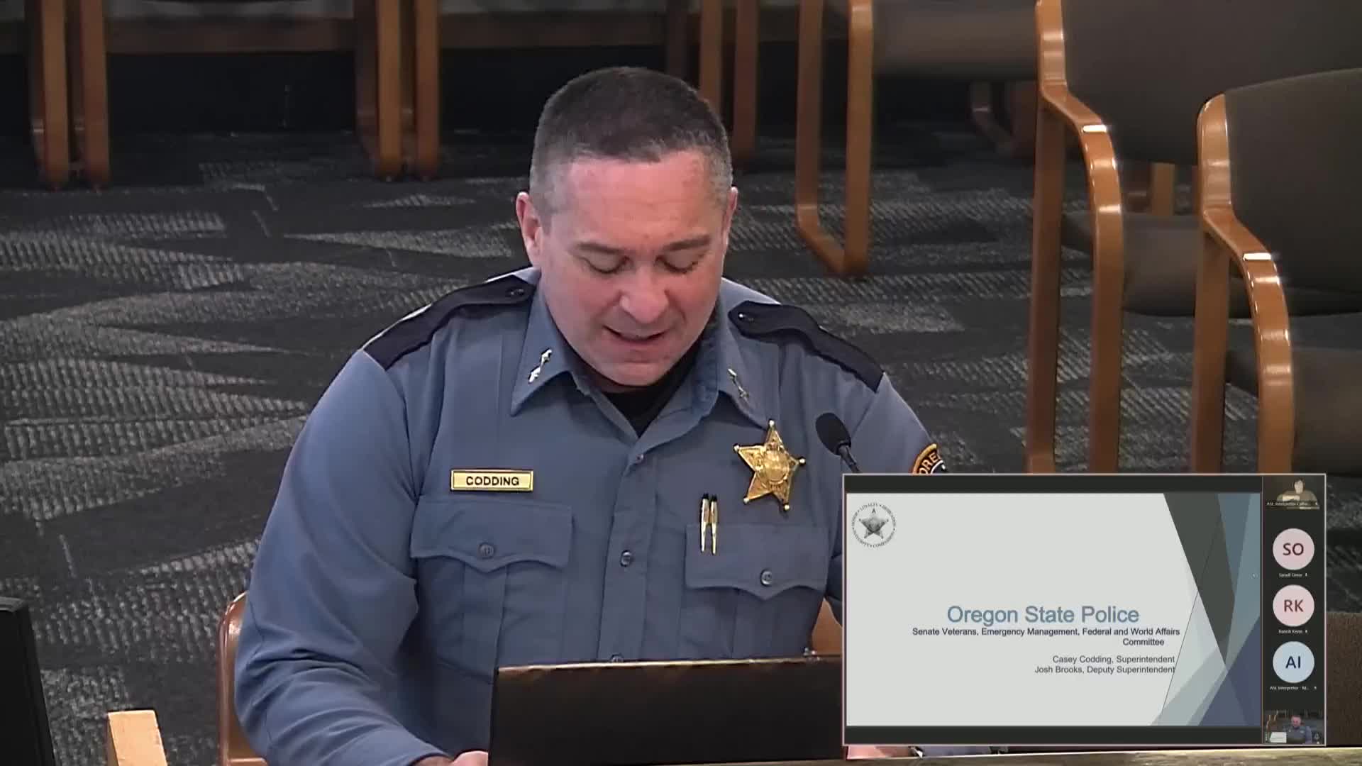
Oregon State Police outlines statewide disaster-response capabilities, dispatch redundancy and new agency operations center
Former special-operations rescue leader pitches gridded school maps to speed emergency response
Oregon National Guard briefs lawmakers on 2024 deployments, wildfire response and recruiting priorities