Controversial development plan sparks heated community debate
October 18, 2024 | Citrus County, Florida
This article was created by AI summarizing key points discussed. AI makes mistakes, so for full details and context, please refer to the video of the full meeting. Please report any errors so we can fix them. Report an error »

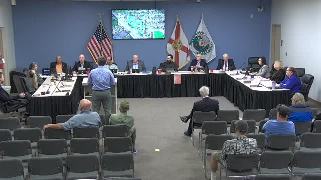
During a recent government meeting, officials discussed a proposed development project that has raised several concerns regarding access, density, and environmental impact. The project, which is situated near US 19, has only one direct connection to this principal arterial road, with the remainder of the property bordered by separate developments. A secondary access point via Nob Hill, a county road, is proposed but would require upgrades to meet county standards due to its current substandard condition.
The meeting also addressed the implications of the site's location in relation to flood and evacuation zones. Officials confirmed that the proposed area is not within the A evacuation zone but falls into a B zone, which does not directly affect the evaluation of the site. However, the comprehensive plan emphasizes the importance of the coastal high hazard area, particularly concerning evacuation times during emergencies.
Density regulations were another focal point of the discussion. The proposed density for the project exceeds the by-right development limits but remains within the maximum allowable density outlined in the comprehensive plan. The land development code specifies that medium density residential areas can accommodate up to eight dwelling units per acre, while the project seeks to exceed this threshold.
Concerns were also raised regarding setbacks to wetlands and the required buffer zones between the development and adjacent residential properties. While the project meets the setback requirements, it does not comply with the 25-foot buffer requirement, proposing instead a 10-foot buffer, which has drawn scrutiny from officials.
As the meeting transitioned to public comments, residents expressed frustration over limited access to project plans, which hindered their ability to engage meaningfully in the discussion. The meeting highlighted the complexities of balancing development needs with environmental and community considerations, setting the stage for further deliberation on the project.
View full meeting
This article is based on a recent meeting—watch the full video and explore the complete transcript for deeper insights into the discussion.
View full meeting